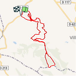

9.7 km | 13.2 km-effort


User


FREE GPS app for hiking
 SityTrail
IGN / Geographical institutes
SityTrail World
The world is yours!
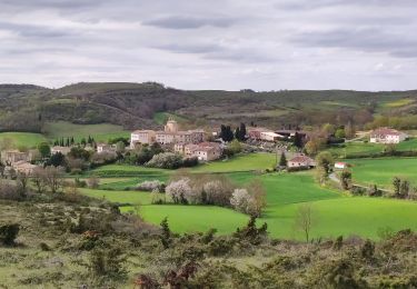
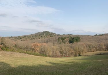
Trail Walking of 10.5 km to be discovered at Occitania, Aude, Villasavary. This trail is proposed by tracegps.
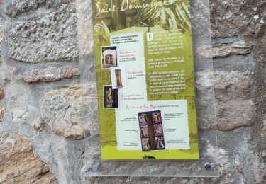
Départ du centre de loisirs de Besplas. Cette randonnée vous fera découvrir les collines et les bois de la région de Villasavary. Attention 470m de dénivelé sur 11km ce qui laisse présager une sortie vtt avec de très belles montées. Vous remarquerez sûrement le travail de balisage accompli par le club de randonnée pédestre de Villasavary qui vous donnera sûrement envie de revenir à pied ou en vtt.
Walking

Mountain bike

Walking
Walking
Walking
Mountain bike

Walking