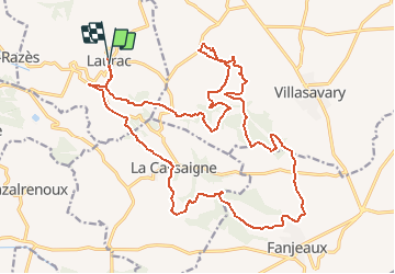


9.7 km | 13.2 km-effort


User


FREE GPS app for hiking
 SityTrail
IGN / Geographical institutes
SityTrail World
The world is yours!
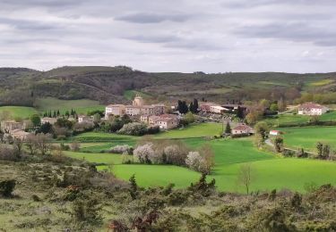
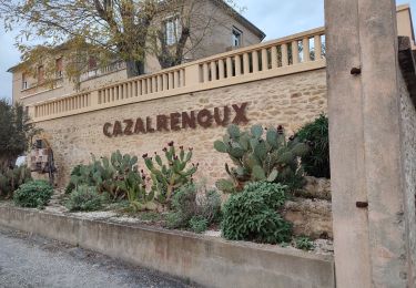
Trail Walking of 27 km to be discovered at Occitania, Aude, Laurac. This trail is proposed by tracegps.
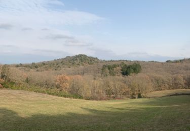
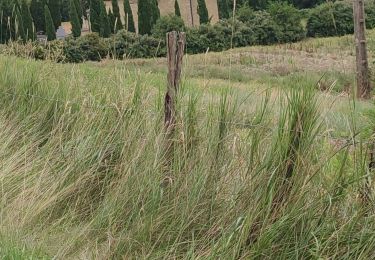
Circuit au départ de laurac ,mais possibilité de partir de Fanjeaux ou de Villasavary . Ce circuit n'est pas facile en vtt ,il y a sur ce tracé de longues montées telle que la sortie du village dés le départ. Ce circuit vous emmènera à Fanjeaux via les bois du Villasavary, vous découvrirez alors les possibilités de randonnées sur le secteur. Certaines descentes de single demandent une bonne technique (en particulier après Fanjeaux passage de rondins de bois) soyez prudents il y a de nombreux randonneurs pédestres par beau temps sur le secteur Villasavary.
Walking

Mountain bike
Walking
Walking
Walking
Mountain bike
Walking