


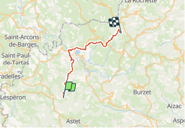

12.7 km | 17.9 km-effort

User


FREE GPS app for hiking
 SityTrail
IGN / Geographical institutes
SityTrail World
The world is yours!
Trail Equestrian of 30 km to be discovered at Auvergne-Rhône-Alpes, Ardèche, Mazan-l'Abbaye. This trail is proposed by tracegps.
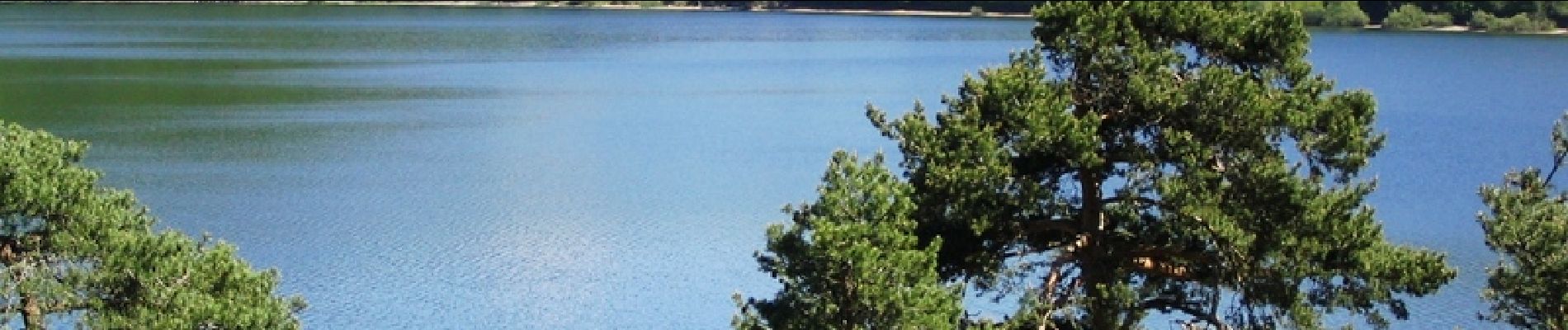
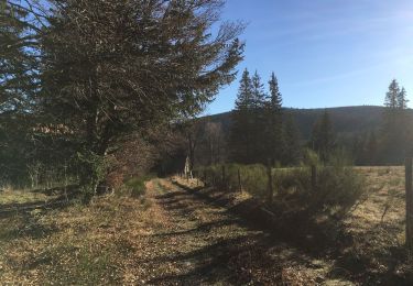
Boucle Le Bouteirou - Mont Gerbier de Jonc – Etape 1 Découverte de la Montagne Ardéchoise des Hautes Cévennes aux crêtes des massifs du Mézenc – Gerbier des Joncs. Départ du Bouteirou vers Villevielle, traversée de la Loire et pique-nique à midi au bord du lac d'Issarlès. En plein coeur de la Montagne Ardéchoise, dans une ancienne ferme montagnarde réaménagée en gîte d'étape, Le Bouteirou vous permet de faire escale dans un espace calme et sympathique lors de vos activités printanières, estivales et automnales. Le gîte dispose de parcs et de box pour les cavaliers et accepte les animaux.


Walking
Walking
Walking
Walking
Walking
Walking
Walking
Walking
Walking