


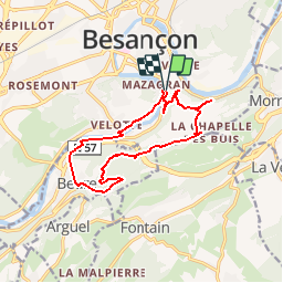

16.8 km | 24 km-effort

User


FREE GPS app for hiking
 SityTrail
IGN / Geographical institutes
SityTrail World
The world is yours!
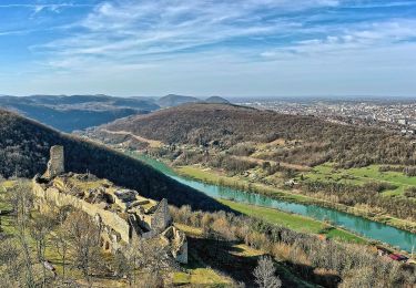
Trail Mountain bike of 12.9 km to be discovered at Bourgogne-Franche-Comté, Doubs, Besançon. This trail is proposed by tracegps.
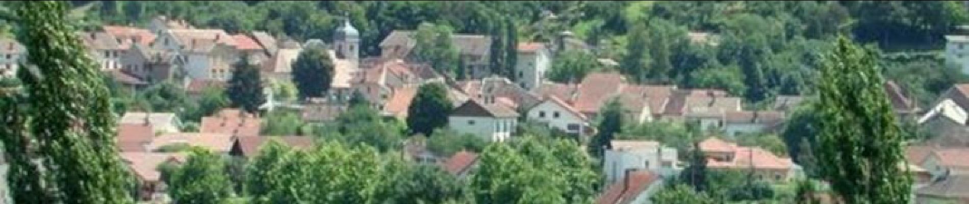
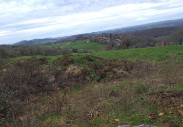
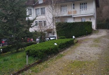
Ce circuit est de niveau "Moyen". La montée se fait sur goudron. En milieu de côte, vous pourrez faire une pause en vous rendant a la grotte Saint Leonard. Une fois arrivé en haut, le chemin se fait le long de la crête pour rejoindre le village de Beure. Ce sentier est parfois étroit avec de grosses pierres qui ressortent. La descente finale se fait sur un chemin caillouteux. On lâche les freins et c'est le bonheur. En arrivant sur Beure, il y a une cascade à découvrir, superbe !! Le retour se fait tranquillement le long du Doubs sur une piste cyclable.

Walking
Walking

Walking
Walking
Walking
On foot
On foot
On foot
On foot