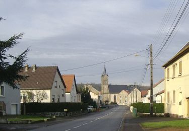
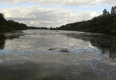
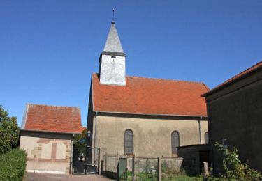
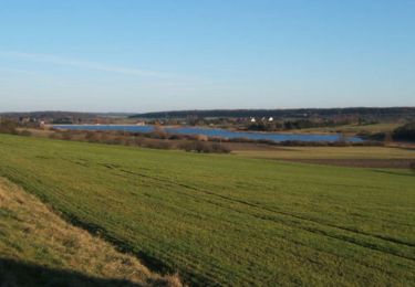
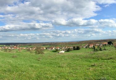
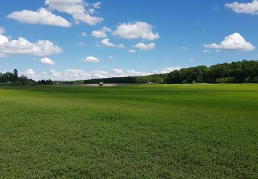
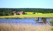
Trail Mountain bike Puttelange-aux-Lacs - Randonnée au Pays des Lacs - Puttelange aux Lacs - Photo

Randonnée au Pays des Lacs - Puttelange aux Lacs

 tracegps
tracegps

User

© OpenStreetMap contributors
Length
Length
56 km
Max alt
Max alt
386 m
Uphill gradient
Uphill gradient
989 m
Km-Effort
Km-Effort  
69 km
Min alt
Min alt
197 m
Downhill gradient
Downhill gradient
986 m
Boucle
Boucle
Yes
Creation date :
2014-12-10 00:00:00.0
Updated on :
2014-12-10 00:00:00.0

(1 Reviews)

Mountain bike
Mountain bike
4h00
Difficulty : Difficult

Scan this QR Code to open this trail in the SityTrail application

FREE GPS app for hiking

Logo SityTrail SityTrail

IGN / Geographical institutes

Download SityTrail from the App Store Download SityTrail from Google Play

Logo SityTrail SityTrail World

The world is yours!

Download SityTrail from the App Store Download SityTrail from Google Play Download SityTrail on Huawei AppGallery

About

Trail Mountain bike of 56 km to be discovered at Grand Est, Moselle, Puttelange-aux-Lacs. This trail is proposed by tracegps.

Description

L'eau est partout présente : canaux, rivières, étangs abondent et leurs eaux vertes ou bleues baignent notre territoire. En effet, pour se détendre et communiques avec la nature, de nombreux étangs jalonnent notre région et vous invitent à observer une faune et une flore protégées. Rendez vous à Diefenbach les Puttelange, à Rémering et à Holving pour découvrir les trésors cachés de dame nature. En été, vous pourrez vous adonner aux joies de la baignade. (source Communauté de Communes de l'Albe et des Lacs).

Elevation profile

Photos

Positioning

Country:
France
Region :
Grand Est
Department/Province :
Moselle
Municipality :
Puttelange-aux-Lacs
Location:
Unknown
Start:(UTM)
346092 ; 5434582 (32U) N.

Comments

Please log in to post a review or rate the element


Trails nearby

Trail On foot Hoste - Circuit de Guten Brunnen - Photo
On foot
PRO

On foot

Easy
Hoste, Grand Est, Moselle, France
11.5 km | 14 km-effort
3h 11min
Yes
Trail Walking Loupershouse - Autour de Metzing - Guebenhouse - Photo
Walking
piem

Walking

Easy
(1)
Loupershouse, Grand Est, Moselle, France
12.3 km | 15.6 km-effort
3h 19min
Yes
Trail On foot Hoste - Circuit de la ligne Maginot Aquatique - Photo
On foot
PRO

On foot

Easy
Hoste, Grand Est, Moselle, France
4.7 km | 5.6 km-effort
1h 16min
No
Trail Walking Saint-Jean-Rohrbach - lac diefenbach - Photo
Walking
fredodlageo

Walking

Easy
Saint-Jean-Rohrbach, Grand Est, Moselle, France
4.4 km | 5.5 km-effort
1h 14min
Yes
Trail Walking Barst - Boucle au départ de Barst - Photo
Walking
tracegps

Walking

Medium
Barst, Grand Est, Moselle, France
14.5 km | 17.1 km-effort
3h 0min
Yes
Trail Walking Hoste - Randonnée de Hoste à Barst - Photo
Walking
tracegps

Walking

Medium
Hoste, Grand Est, Moselle, France
13.7 km | 16.1 km-effort
3h 0min
Yes
Trail Horseback riding Holving - 2022-06-26-01 Holving 24km - Photo
Horseback riding
Paul57

Horseback riding

Medium
Holving, Grand Est, Moselle, France
24 km | 29 km-effort
3h 45min
Yes
Trail Walking Hoste - Chemin de crête  - Photo
Walking
SylvainRando

Walking

Medium
Hoste, Grand Est, Moselle, France
8.8 km | 10.2 km-effort
2h 19min
Yes
Trail Walking Hoste - étangs hoste - Photo
Walking
mitch1915

Walking

Easy
Hoste, Grand Est, Moselle, France
16.6 km | 19.3 km-effort
3h 28min
Yes


Close
My subscriptions