


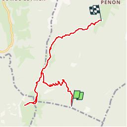

13.9 km | 29 km-effort

User


FREE GPS app for hiking
 SityTrail
IGN / Geographical institutes
SityTrail World
The world is yours!
Trail Walking of 7.4 km to be discovered at Auvergne-Rhône-Alpes, Savoy, Aillon-le-Jeune. This trail is proposed by tracegps.
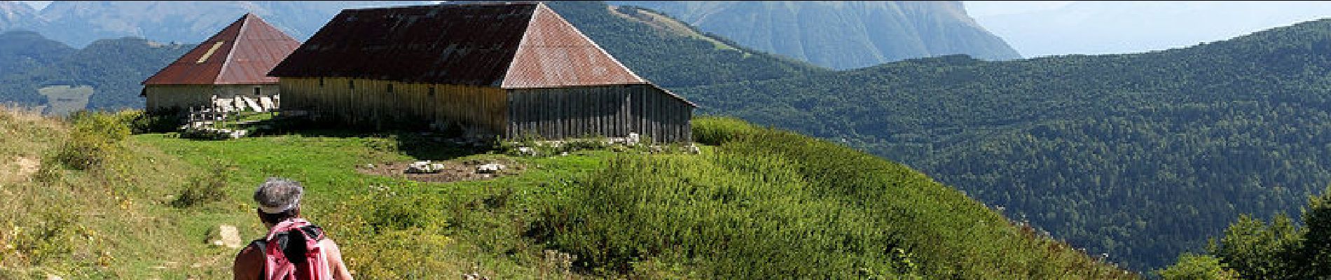
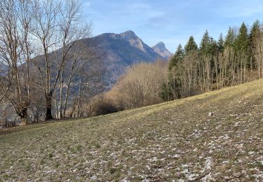
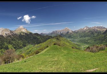
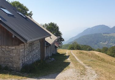
Courte randonnée facile, l'ascension de la Pointe de la Galoppaz, sommet isolé des Bauges, offre un large panorama sur les sommets du Nord du massif. En partant du Col du Lindar, un sentier bien tracé en forêt conduit au pied de la Petite Pointe de la Galoppaz. Un beau parcours de crête conduit à travers l'alpage jusqu'au sommet. La descente conduit au Chalet de la Buffaz par la traversée du col éponyme avant de dévaler une piste puis un sentier jusqu'à proximité de Penon, hameau de Aillon-le-jeune. Description complète sur sentier-nature.com : La Pointe de la Galoppaz 1680m, depuis le Col du Lindar


Walking
Mountain bike

Snowshoes
Walking
Walking
Walking
Walking
Walking
Walking
Très bien, pour jamais se perdre