


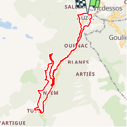

5.8 km | 10.3 km-effort


User


FREE GPS app for hiking
 SityTrail
IGN / Geographical institutes
SityTrail World
The world is yours!
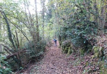
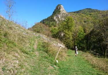
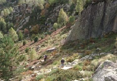
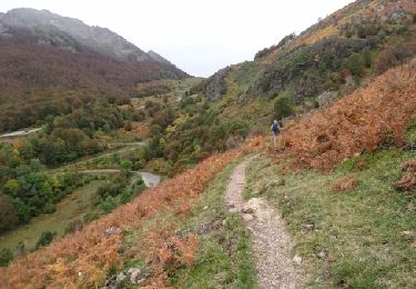
Trail Mountain bike of 21 km to be discovered at Occitania, Ariège, Auzat. This trail is proposed by tracegps.
Relevé terrain par les Vttayres du Sabarthès. (lien vers ABS Aventure)

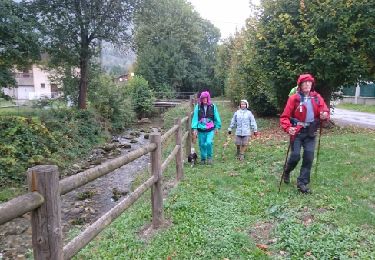
On foot
On foot
Walking

Walking
Walking
Walking
Walking
Walking
Walking