


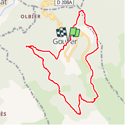


5.8 km | 10.3 km-effort

User


FREE GPS app for hiking
 SityTrail
IGN / Geographical institutes
SityTrail World
The world is yours!
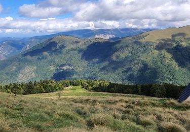
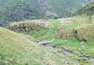
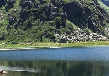
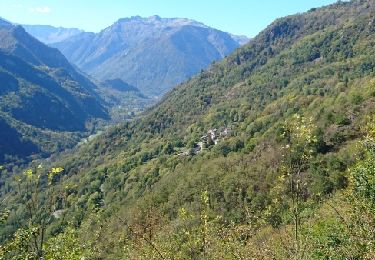
Trail Walking of 10.8 km to be discovered at Occitania, Ariège, Val-de-Sos. This trail is proposed by randodan.
- 7 octobre - De Goulier à sa Station via Risoul (GR 10B) -<br>
En cours


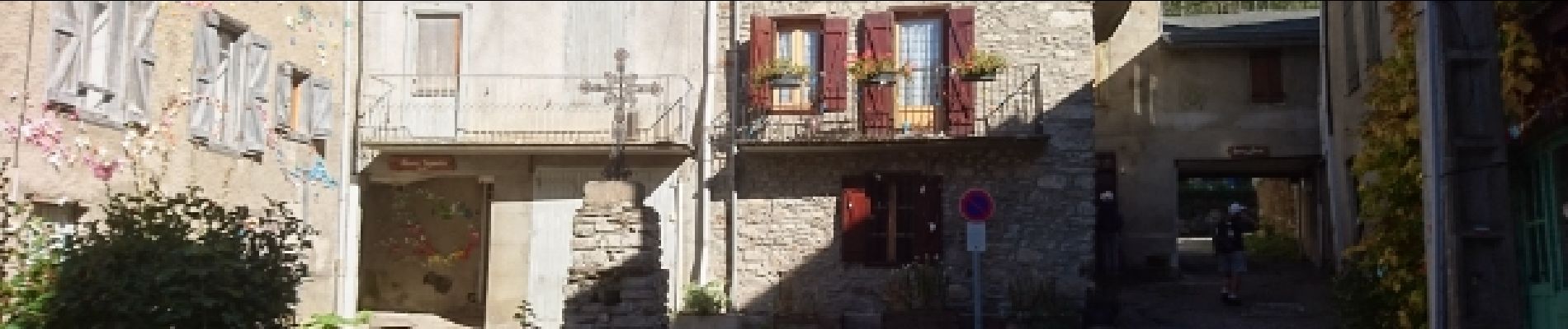
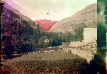
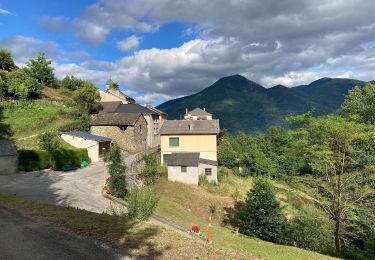
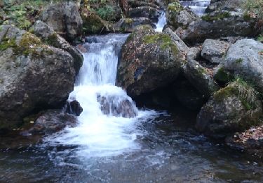
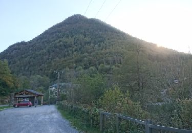
23 photos in total. Please click on a photo to see them all in the gallery.
On foot
On foot
Walking
Walking

Walking
Walking
Walking
Walking
Walking
tres,tres intéressant !