


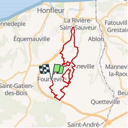

21 km | 27 km-effort

User


FREE GPS app for hiking
 SityTrail
IGN / Geographical institutes
SityTrail World
The world is yours!
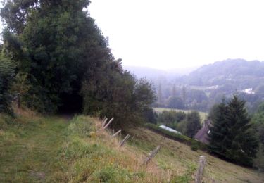
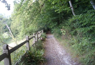
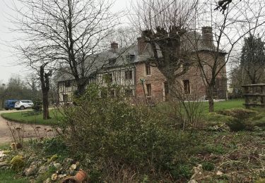
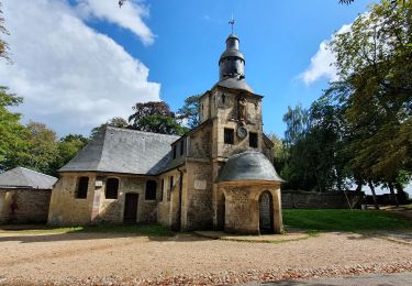
Trail Mountain bike of 26 km to be discovered at Normandy, Calvados, Fourneville. This trail is proposed by tracegps.
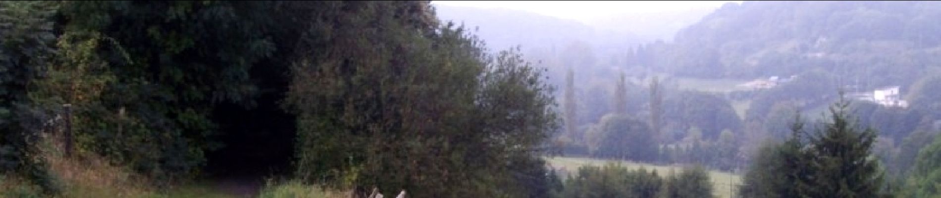
Encore une fois parcours superbe, assez facile pour les vététistes. kiff: 6 paysages: 8 crampe : 5 technique : 4


Walking
On foot
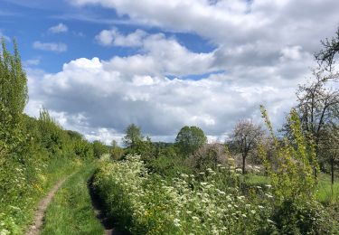
Walking

On foot
Walking

Mountain bike
Walking
Hybrid bike
Walking