


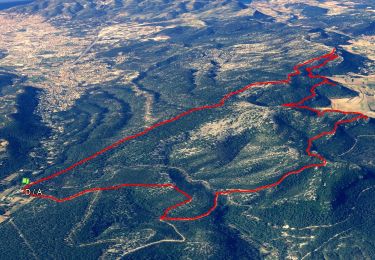
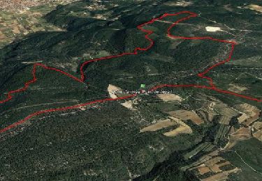
16.5 km | 24 km-effort

User


FREE GPS app for hiking
 SityTrail
IGN / Geographical institutes
SityTrail World
The world is yours!
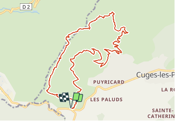
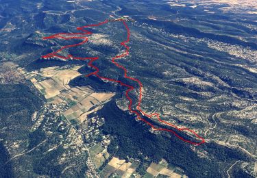
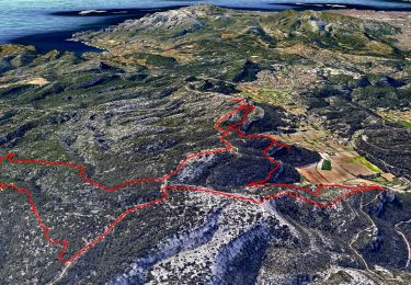
Trail Walking of 13.4 km to be discovered at Provence-Alpes-Côte d'Azur, Bouches-du-Rhône, Cuges-les-Pins. This trail is proposed by tracegps.
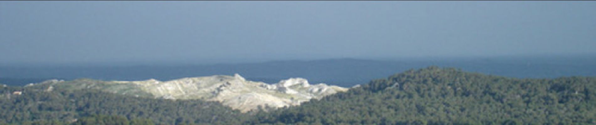
Belle randonnée pédestre de 13,3 km dénivelée 722 m Niveau de difficulté 4. En montant sur une pite DFCI vous aurez de magnifiques points de vue sur Cuges les Pins et son 'poljé' (le plus grand d'Europe. Vous aurez aussi des points de vue sur le Garlaban, la Sainte Baume (pic de Bertagne) ... Vous redescendrez par le GR98. D’autres informations sur le site de Rando Loisirs à Carnoux en Provence.

Walking
Walking
Walking
Walking

Walking
Walking

Walking

Mountain bike

Walking