


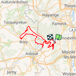

29 km | 38 km-effort

User


FREE GPS app for hiking
 SityTrail
IGN / Geographical institutes
SityTrail World
The world is yours!
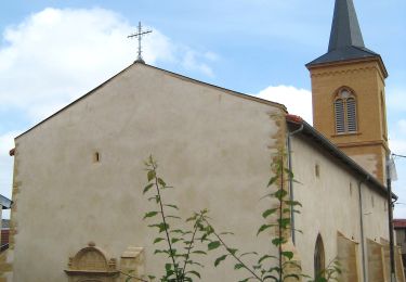
Trail Mountain bike of 54 km to be discovered at Grand Est, Moselle, Rombas. This trail is proposed by tracegps.
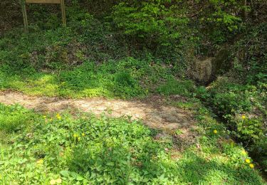
Belle balade qui débute a la zone de loisirs du Fond st Martin, pour ensuite traverser la vallée de l'Orne et continuer jusqu'au plan d'eau de la sangsue à Briey. C'est un circuit long mais sans difficultés majeures, idéal pour ceux qui aiment les longues sorties roulantes, praticable même l'hiver.


Mountain bike
On foot

On foot

Walking
Walking

Walking
Walking
On foot

On foot