


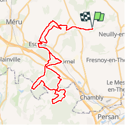

13.5 km | 16.1 km-effort

User


FREE GPS app for hiking
 SityTrail
IGN / Geographical institutes
SityTrail World
The world is yours!
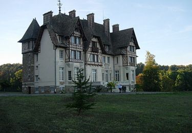
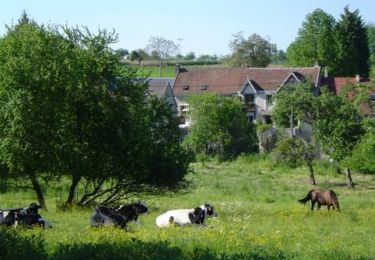
Trail Mountain bike of 42 km to be discovered at Hauts-de-France, Oise, Dieudonné. This trail is proposed by tracegps.
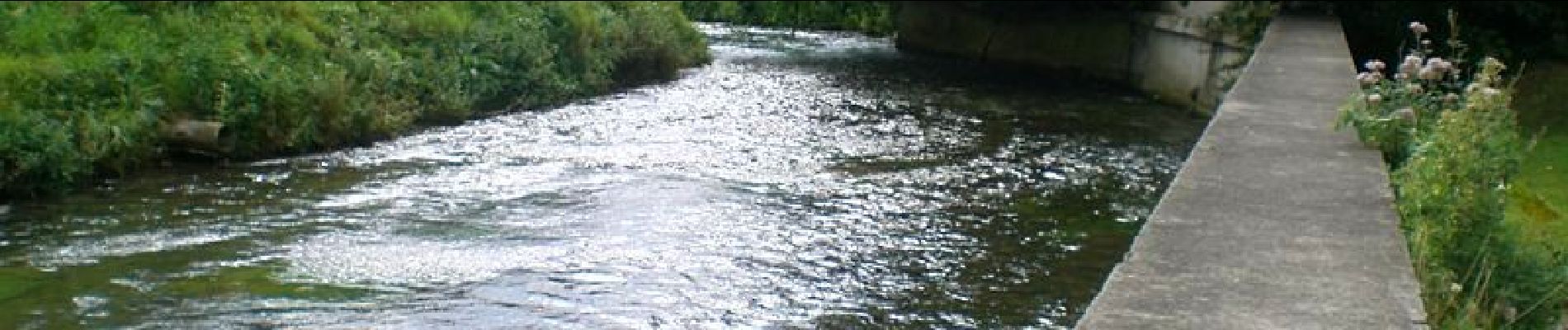
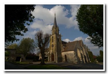
Balade dans l'Oise avec beaucoup de bois. Passage par Bornel où Amélie Mauresmo y a tapé ses premières balles de tennis dans un club qui existe toujours, le Tennis club de Bornel, avant de s'envoler vers la carrière qu'on lui connaît. Un gymnase communal ouvert en 2008 porte d'ailleurs son nom.

Walking
Mountain bike

Walking
Walking
Walking
Mountain bike
Mountain bike
Mountain bike
Mountain bike