


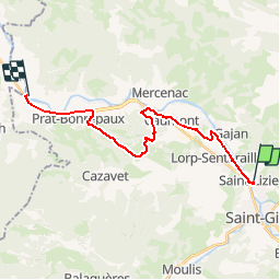

13.7 km | 21 km-effort

User


FREE GPS app for hiking
 SityTrail
IGN / Geographical institutes
SityTrail World
The world is yours!
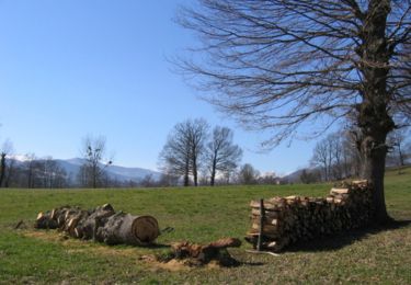
Trail Mountain bike of 20 km to be discovered at Occitania, Ariège, Saint-Lizier. This trail is proposed by tracegps.
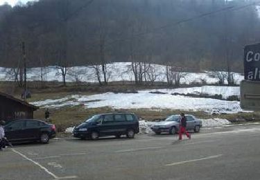
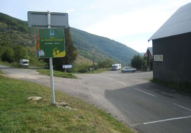
Grande Traversée VTT Ariège Pyrénées - Étape 12 - St Lizier – Lacave. Circuit labellisé par la Fédération Française de Cyclisme. La dernière étape, sans difficulté, qui alterne route et chemins. On suit principalement le Salat hormis une échappée au dessus de Caumont puis arrivée à Lacave, terme des 222,26 km ! Agence de Développement Touristique d'Ariège Pyrénées Route de Ganac – BP 30143 – 09004 Foix Cedex Tél : 05 61 02 30 70/fax : 05 61 65 17 34


Walking

Walking
Walking
Cycle
Cycle
Cycle
Cycle
Walking
Mountain bike