Trail Cycle Saint-Girons - Vallée du Salat - St-Girons - Photo

Vallée du Salat - St-Girons

 tracegps
tracegps

User

© OpenStreetMap contributors
Length
Length
102 km
Max alt
Max alt
1579 m
Uphill gradient
Uphill gradient
2597 m
Km-Effort
Km-Effort  
137 km
Min alt
Min alt
391 m
Downhill gradient
Downhill gradient
2597 m
Boucle
Boucle
Yes
Creation date :
2014-12-10 00:00:00.0
Updated on :
2014-12-10 00:00:00.0

(0 Reviews)

Cycle
Cycle
6h00
Difficulty : Difficult

Scan this QR Code to open this trail in the SityTrail application

FREE GPS app for hiking

Logo SityTrail SityTrail

IGN / Geographical institutes

Download SityTrail from the App Store Download SityTrail from Google Play

Logo SityTrail SityTrail World

The world is yours!

Download SityTrail from the App Store Download SityTrail from Google Play Download SityTrail on Huawei AppGallery

About

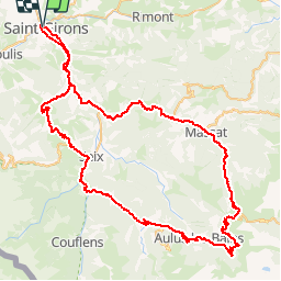
Trail Cycle of 102 km to be discovered at Occitania, Ariège, Saint-Girons. This trail is proposed by tracegps.

Description

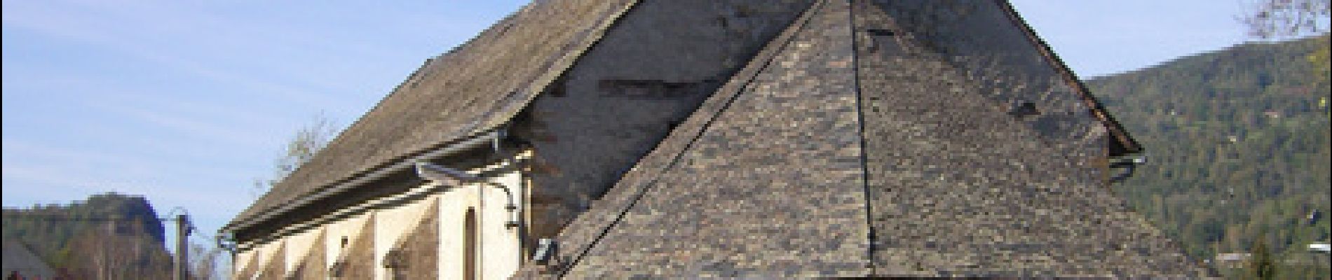
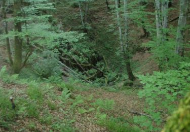
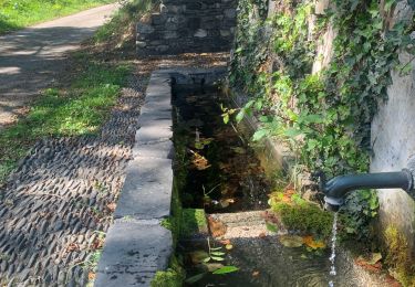
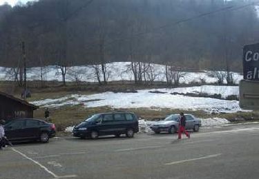
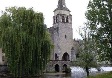
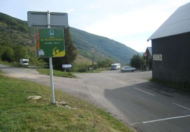
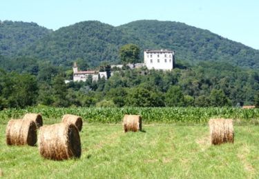
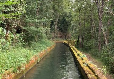
Départ de l'Office de Tourisme de St-Girons, Place Alphonse Sentein. Le circuit permet de découvrir : • Lacourt : ruines du château "La tour de Chunaut" - donjon relais entre Saint-Lizier et le Mirabat. • Alos : lavoirs et fontaines. • Seix : château, église, fabrique de fromage. • Vic d'Oust : église romane, plafond en caissons. • Saint-Sernin : église romane. • Aulus : station thermale. • Vallée d'Ossèse & Cirque de Cagateille (site protégé). • Guzet : station de ski du Couserans. Retrouvez la description du circuit sur le site de l'Office de Tourisme de St-Girons St-Lizier.

Elevation profile

Photos

Positioning

Country:
France
Region :
Occitania
Department/Province :
Ariège
Municipality :
Saint-Girons
Location:
Unknown
Start:(UTM)
348643 ; 4760792 (31T) N.

Trails nearby

Trail Walking Saint-Girons - Cap de la Bouiche - Saint Girons - Photo
Walking
tracegps

Walking

Difficult
(2)
Saint-Girons, Occitania, Ariège, France
13.7 km | 21 km-effort
4h 0min
Yes
Trail Walking Montjoie-en-Couserans - Tour du Montcaliver - Photo
Walking
FelixDucos

Walking

Very easy
(1)
Montjoie-en-Couserans, Occitania, Ariège, France
5.2 km | 8.5 km-effort
1h 16min
Yes
Trail Walking Saint-Lizier - 2023 09 20 CHEMIN du PIÉMONT PYRÉNÉEN - 13ème étape : Saint-Lizier - Moulis - Castillon-en-Couserans - Aragon - Aicazein - Orgibet - St Lary - Portet-d’Aspet - Photo
Walking
LEGUE

Walking

Difficult
Saint-Lizier, Occitania, Ariège, France
35 km | 46 km-effort
10h 59min
No
Trail Cycle Saint-Girons - Col de Latrape - St-Girons - Photo
Cycle
tracegps

Cycle

Difficult
Saint-Girons, Occitania, Ariège, France
82 km | 106 km-effort
4h 48min
Yes
Trail Cycle Saint-Girons - Voie de Piémont - St-Girons - Photo
Cycle
tracegps

Cycle

Medium
Saint-Girons, Occitania, Ariège, France
36 km | 43 km-effort
2h 0min
Yes
Trail Cycle Saint-Girons - Circuit de La Bellongue - St-Girons - Photo
Cycle
tracegps

Cycle

Difficult
Saint-Girons, Occitania, Ariège, France
89 km | 112 km-effort
5h 0min
Yes
Trail Walking Montjoie-en-Couserans - A M 2012-08-16 Tuc de Montcalivert - Photo
Walking
Toune73

Walking

Very easy
(2)
Montjoie-en-Couserans, Occitania, Ariège, France
4 km | 6.9 km-effort
1h 29min
Yes
Trail Mountain bike Saint-Lizier - Grande Traversée VTT FFC Arièges Pyrénées - Etape 12 - St Lizier - Lacave - Photo
Mountain bike
tracegps

Mountain bike

Medium
Saint-Lizier, Occitania, Ariège, France
20 km | 24 km-effort
1h 45min
No
Trail Walking Saint-Girons - St girons la cascade d Aubert  - Photo
Walking
viaul

Walking

Medium
Saint-Girons, Occitania, Ariège, France
11.9 km | 17.7 km-effort
3h 3min
Yes


Close
My subscriptions