


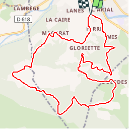


5.2 km | 8.5 km-effort

User


FREE GPS app for hiking
 SityTrail
IGN / Geographical institutes
SityTrail World
The world is yours!
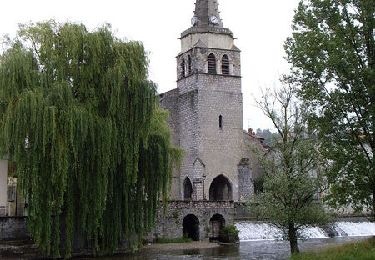
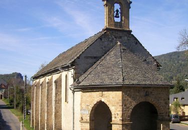
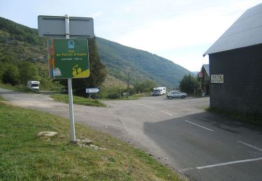
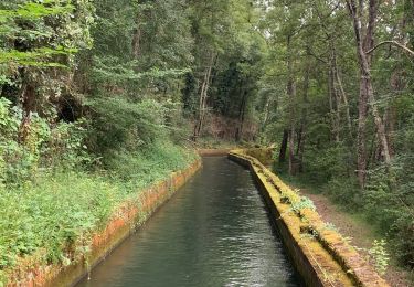
Trail Walking of 13.7 km to be discovered at Occitania, Ariège, Saint-Girons. This trail is proposed by tracegps.
Boucle qui offre de beaux points de vue sur Saint Lizier et la chaîne pyrénéenne. Départ du quartier de Beauregard, prés de l'allée de Bordeblanche.


Walking
Walking
Cycle
Cycle
Cycle
Cycle
Walking

Mountain bike
Walking