


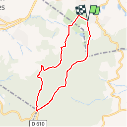

9.6 km | 11.8 km-effort

User


FREE GPS app for hiking
 SityTrail
IGN / Geographical institutes
SityTrail World
The world is yours!
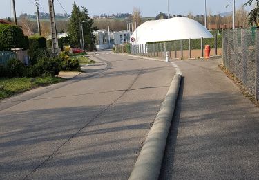
Trail Walking of 7 km to be discovered at Auvergne-Rhône-Alpes, Rhône, Lentilly. This trail is proposed by tracegps.
Circuit proposé à titre indicatif car ce très joli petit massif des Monts du Lyonnais regorge de chemins. L'idéal est de faire votre trace selon votre endurance, il n'y a que l'embarras du choix!! L'endroit est propice à la rando,au vtt et à l'équitation. Alors à vos cartes et bonnes balades!!!


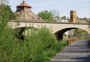
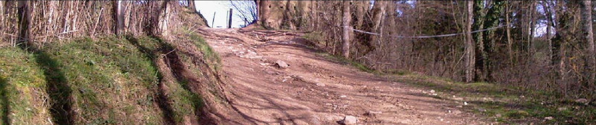
Walking

Walking
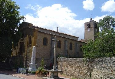
Walking
Walking

Walking
Walking

Horseback riding
Walking

Mountain bike