


11.4 km | 16 km-effort


User


FREE GPS app for hiking
 SityTrail
IGN / Geographical institutes
SityTrail World
The world is yours!
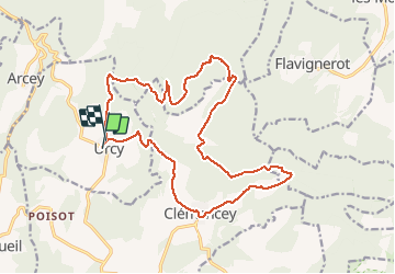
Trail Walking of 18.9 km to be discovered at Bourgogne-Franche-Comté, Côte-d'Or, Urcy. This trail is proposed by tracegps.
Les environs d'Urcy Très agréable randonnée de 19,1 km parmi les rentes et fermes des environs d'Urcy (6 heures). Une randonnée du Club Alpin Français de l'Ouest Dijonnais. « Si tu veux aller un peu plus loin, avec le CAFOD tu feras des randonnées pas comme les autres» ! Avertissement : Les itinéraires mentionnés ici ne sont pas vérifiés (droit de passage, accidents de terrain, etc...). Par conséquent, il convient avant le départ de se renseigner sur la faisabilité du circuit envisagé.

Walking

Walking
On foot
Walking
Walking
Walking

Walking
Walking
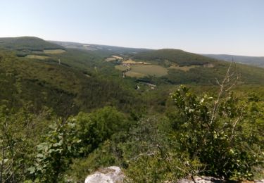
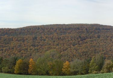
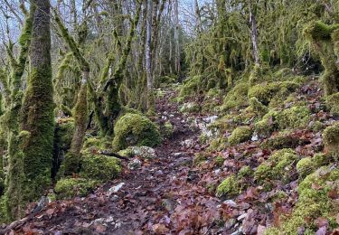
Walking
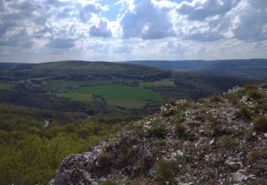
sacrés beaux paysages. attention, montée très raide après les ecotois Alain