Trail Walking Urcy - Plain de Suzanne-Roche d'Anse-Urcy - Photo

Plain de Suzanne-Roche d'Anse-Urcy

 mpstoop
mpstoop

User

© OpenStreetMap contributors
Length
Length
22 km
Max alt
Max alt
601 m
Uphill gradient
Uphill gradient
955 m
Km-Effort
Km-Effort  
35 km
Min alt
Min alt
312 m
Downhill gradient
Downhill gradient
956 m
Boucle
Boucle
Yes
Creation date :
2021-05-02 09:35:05.653
Updated on :
2021-05-03 13:09:26.478

(0 Reviews)

Walking
Walking
7h21
Difficulty : Very difficult

Scan this QR Code to open this trail in the SityTrail application

FREE GPS app for hiking

Logo SityTrail SityTrail

IGN / Geographical institutes

Download SityTrail from the App Store Download SityTrail from Google Play

Logo SityTrail SityTrail World

The world is yours!

Download SityTrail from the App Store Download SityTrail from Google Play Download SityTrail on Huawei AppGallery

About

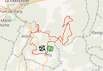
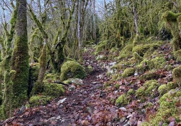
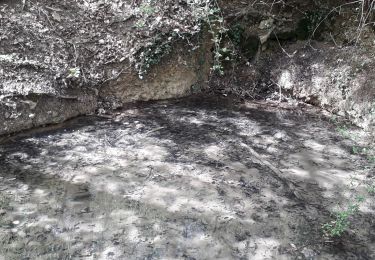
Trail Walking of 22 km to be discovered at Bourgogne-Franche-Comté, Côte-d'Or, Urcy. This trail is proposed by mpstoop.

Description

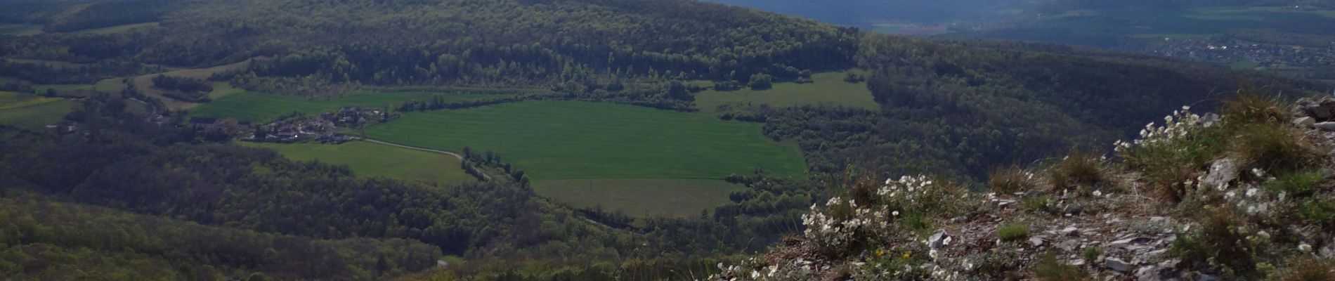
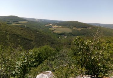
Forte dénivelées et points de vue notoires aux belvédères de la Roche Ponpon et de la roche d'Anse- Découvrez la Flore alpine bourguignonne au printemps et les étranges puits coniques du lieu-dit l'Oppidum sur le plateau, pour un voyage dans le temps et l'espace .

Elevation profile

Photos

Positioning

Country:
France
Region :
Bourgogne-Franche-Comté
Department/Province :
Côte-d'Or
Municipality :
Urcy
Location:
Unknown
Start:(UTM)
640132 ; 5235778 (31T) N.

Trails nearby

Trail Walking Sainte-Marie-sur-Ouche - Pont de Pany - Photo
Walking
hueco

Walking

Easy
(1)
Sainte-Marie-sur-Ouche, Bourgogne-Franche-Comté, Côte-d'Or, France
11.4 km | 16 km-effort
3h 19min
Yes
Trail Walking Urcy - Les environs d'Urcy - Photo
Walking
tracegps

Walking

Difficult
(2)
Urcy, Bourgogne-Franche-Comté, Côte-d'Or, France
18.9 km | 27 km-effort
6h 0min
No
Trail Walking Sainte-Marie-sur-Ouche - Belvédères sur la vallée de l'Ouche - Pont de Pany - Photo
Walking
tracegps

Walking

Difficult
(1)
Sainte-Marie-sur-Ouche, Bourgogne-Franche-Comté, Côte-d'Or, France
20 km | 28 km-effort
6h 0min
Yes
Trail On foot Flavignerot - Du Naizou au Mont Afrique - Photo
On foot
PRO

On foot

Easy
Flavignerot, Bourgogne-Franche-Comté, Côte-d'Or, France
8.9 km | 11.4 km-effort
2h 35min
Yes
Trail Walking Arcey - Arcey - Photo
Walking
eric.guyard21

Walking

Difficult
Arcey, Bourgogne-Franche-Comté, Côte-d'Or, France
12.2 km | 16.8 km-effort
2h 48min
Yes
Trail Walking Flavignerot - La roche Pompon  - Photo
Walking
Annie21

Walking

Medium
Flavignerot, Bourgogne-Franche-Comté, Côte-d'Or, France
15.3 km | 23 km-effort
5h 0min
Yes
Trail Walking Chambœuf - chamboeuf - Photo
Walking
miloudominique

Walking

Easy
(1)
Chambœuf, Bourgogne-Franche-Comté, Côte-d'Or, France
14.2 km | 19.4 km-effort
3h 21min
Yes
Trail Walking Flavignerot - Roche Pompon 11/12/11 - Photo
Walking
ludojiel

Walking

Easy
(1)
Flavignerot, Bourgogne-Franche-Comté, Côte-d'Or, France
12.1 km | 19.8 km-effort
3h 45min
Yes
Trail Walking Fleurey-sur-Ouche - Roche d Anse 23/11/11 - Photo
Walking
ludojiel

Walking

Easy
(1)
Fleurey-sur-Ouche, Bourgogne-Franche-Comté, Côte-d'Or, France
8.8 km | 12.4 km-effort
2h 20min
Yes


Close
My subscriptions