


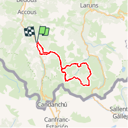

16.9 km | 30 km-effort

User


FREE GPS app for hiking
 SityTrail
IGN / Geographical institutes
SityTrail World
The world is yours!
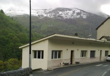
Trail Walking of 51 km to be discovered at New Aquitaine, Pyrénées-Atlantiques, Etsaut. This trail is proposed by tracegps.
Variante du Tour du Pic du Midi d'Ossau. Départ d'Etsaut, chemin de la mature, col d'Ayous puis Tour du Pic du Midi d'Ossau, retour Etsaut. Rando de 3 jours, bivouacs Lac Gentau puis lac de Bious Artigues.


Snowshoes

Walking

Walking
On foot
On foot
On foot
On foot
On foot
On foot