


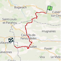

10.5 km | 20 km-effort

User


FREE GPS app for hiking
 SityTrail
IGN / Geographical institutes
SityTrail World
The world is yours!
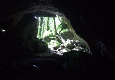
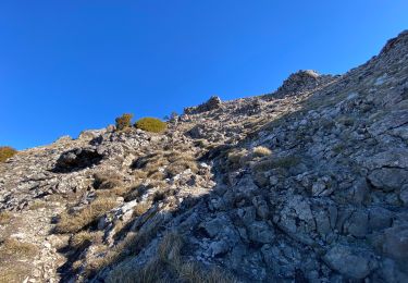
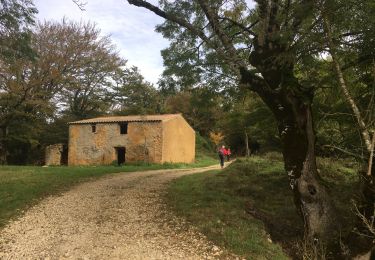
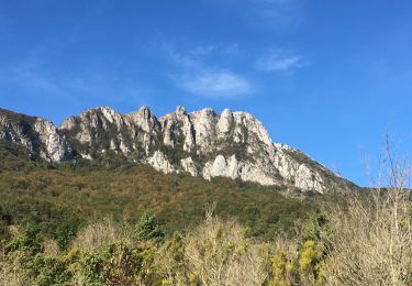
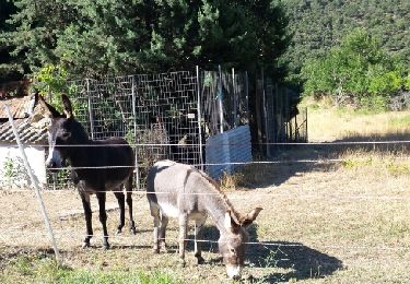
Trail Walking of 21 km to be discovered at Occitania, Aude, Camps-sur-l'Agly. This trail is proposed by levequejef.


Walking
Walking
Walking
Walking

Walking

Walking
Walking
Walking
Walking