


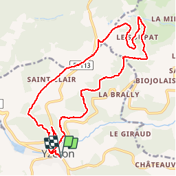

7.4 km | 11.5 km-effort


User


FREE GPS app for hiking
 SityTrail
IGN / Geographical institutes
SityTrail World
The world is yours!
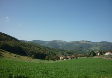
Trail Walking of 11.3 km to be discovered at Auvergne-Rhône-Alpes, Rhône, Yzeron. This trail is proposed by tracegps.
Circuit passant dans les bois et sur les crêts du Lyonnais, belle vue sur les Alpes. 12km. Départ place du village, Yzeron.

Walking

Walking
Walking
On foot
On foot
On foot

On foot
On foot
On foot
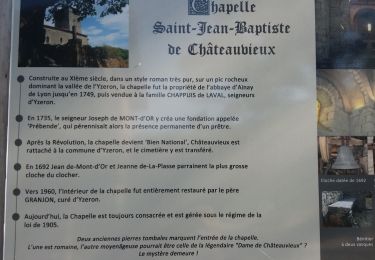
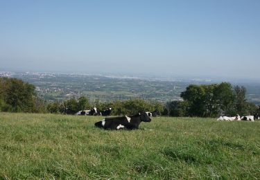
très bien belle vue