Trail Mountain bike Gravigny - Balade dans la vallée d'iton - Photo

Balade dans la vallée d'iton

 tracegps
tracegps

User

© OpenStreetMap contributors
Length
Length
63 km
Max alt
Max alt
149 m
Uphill gradient
Uphill gradient
1234 m
Km-Effort
Km-Effort  
80 km
Min alt
Min alt
18 m
Downhill gradient
Downhill gradient
1229 m
Boucle
Boucle
Yes
Creation date :
2014-12-10 00:00:00.0
Updated on :
2014-12-10 00:00:00.0

(0 Reviews)

Mountain bike
Mountain bike
3h15
Difficulty : Very difficult

Scan this QR Code to open this trail in the SityTrail application

FREE GPS app for hiking

Logo SityTrail SityTrail

IGN / Geographical institutes

Download SityTrail from the App Store Download SityTrail from Google Play

Logo SityTrail SityTrail World

The world is yours!

Download SityTrail from the App Store Download SityTrail from Google Play Download SityTrail on Huawei AppGallery

About

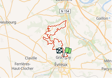
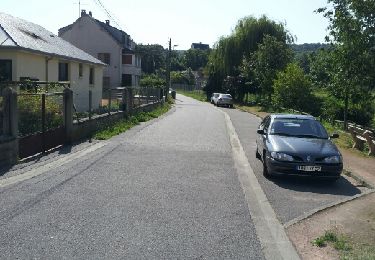
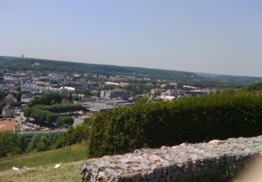
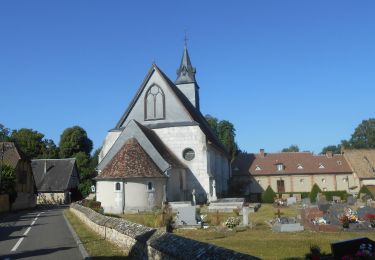
Trail Mountain bike of 63 km to be discovered at Normandy, Eure, Gravigny. This trail is proposed by tracegps.

Description

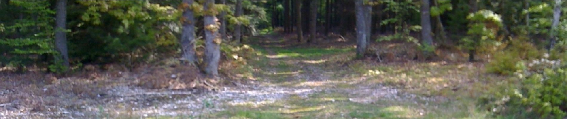
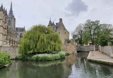
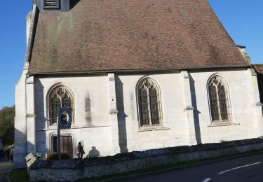
Parcours sportif, mais excessivement joli. Pour réaliser ce parcours, il faut prendre son temps. Sans vouloir monter l'ensemble des cotes avec un rythme d'enfer. Il y a tout de même 9 cotes au programme de cette balade. Il est possible d'écourter le parcours à plusieurs endroits. Certaines portions sont totalement inédites. Bonne randonnée à tous. Et au plaisir de vous rencontrer sur les chemins d'Évreux.

Elevation profile

Photos

Positioning

Country:
France
Region :
Normandy
Department/Province :
Eure
Municipality :
Gravigny
Location:
Unknown
Start:(Dec)
Start:(UTM)
365920 ; 5434303 (31U) N.

Trails nearby

Trail Walking Huest - les trois etangs - Photo
Walking
bernard.bonafous@free.fr

Walking

Very difficult
(1)
Huest, Normandy, Eure, France
25 km | 28 km-effort
6h 25min
Yes
Trail Walking Évreux - Évreux PR1  - Photo
Walking
Marie-Claire-mcp

Walking

Medium
Évreux, Normandy, Eure, France
8.4 km | 9.9 km-effort
2h 53min
Yes
Trail On foot Normanville - normanville - Photo
On foot
bipf

On foot

Very easy
Normanville, Normandy, Eure, France
9.1 km | 10.9 km-effort
Unknown
Yes
Trail Walking Tourneville - autrebocs - Photo
Walking
papytonvelo

Walking

Very easy
(1)
Tourneville, Normandy, Eure, France
11.7 km | 14.7 km-effort
3h 26min
No
Trail Walking Gravigny - La Maladrerie (Gravigny) - Photo
Walking
douneto

Walking

Easy
Gravigny, Normandy, Eure, France
5.5 km | 6.5 km-effort
1h 30min
Yes
Trail Walking Normanville - Circuit de Normanville - Photo
Walking
tiberiu

Walking

Medium
(4)
Normanville, Normandy, Eure, France
13 km | 16.5 km-effort
4h 26min
Yes
Trail Mountain bike Gravigny - Chemins et collines entre les deux vallées - Gravigny - Photo
Mountain bike
tracegps

Mountain bike

Difficult
Gravigny, Normandy, Eure, France
49 km | 58 km-effort
2h 40min
Yes
Trail Mountain bike Gravigny - Forêts et plaines autour de Gravigny - Photo
Mountain bike
tracegps

Mountain bike

Difficult
Gravigny, Normandy, Eure, France
42 km | 48 km-effort
2h 30min
Yes
Trail Walking Normanville - 20230607-Normanville - Photo
Walking
doudet

Walking

Medium
Normanville, Normandy, Eure, France
19.9 km | 24 km-effort
5h 6min
Yes


Close
My subscriptions