


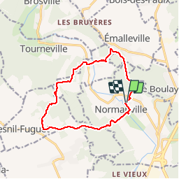

25 km | 28 km-effort


User


FREE GPS app for hiking
 SityTrail
IGN / Geographical institutes
SityTrail World
The world is yours!
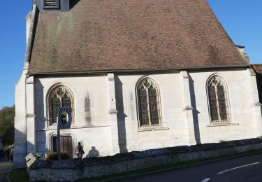
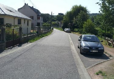
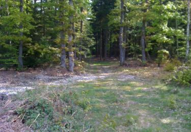
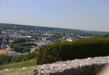
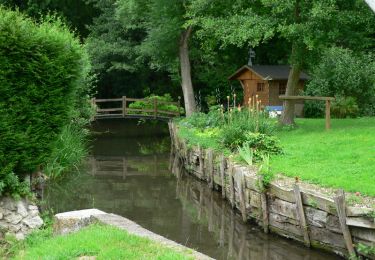
Trail Walking of 13 km to be discovered at Normandy, Eure, Normanville. This trail is proposed by tiberiu.

Walking
On foot
Walking
Walking
Walking
Mountain bike

Mountain bike
Mountain bike
Mountain bike
Belle boucle
Très sympathique et varié
Belle balade, mais en partie déviée sur route, dommage!