Trail Walking Gravigny - La Maladrerie (Gravigny) - Photo

La Maladrerie (Gravigny)

 douneto
douneto

User

© OpenStreetMap contributors
Length
Length
5.5 km
Max alt
Max alt
131 m
Uphill gradient
Uphill gradient
81 m
Km-Effort
Km-Effort  
6.5 km
Min alt
Min alt
55 m
Downhill gradient
Downhill gradient
83 m
Boucle
Boucle
Yes
Creation date :
2019-04-30 14:33:07.474
Updated on :
2019-04-30 14:33:07.925

(0 Reviews)

Walking
Walking
1h30
Difficulty : Easy

Scan this QR Code to open this trail in the SityTrail application

FREE GPS app for hiking

Logo SityTrail SityTrail

IGN / Geographical institutes

Download SityTrail from the App Store Download SityTrail from Google Play

Logo SityTrail SityTrail World

The world is yours!

Download SityTrail from the App Store Download SityTrail from Google Play Download SityTrail on Huawei AppGallery

About

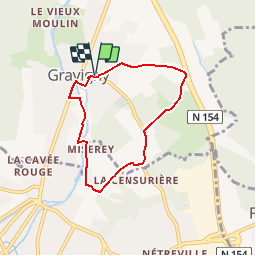
Trail Walking of 5.5 km to be discovered at Normandy, Eure, Gravigny. This trail is proposed by douneto.

Description

Balisage Bleu
Rando Juillet 2014
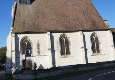
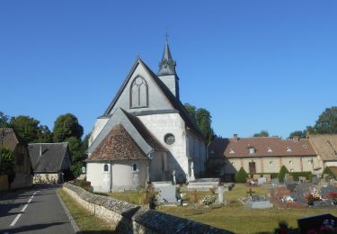
Départ du parking au pied de l'Eglise Saint Sulpice de Gravigny

Elevation profile

Photos

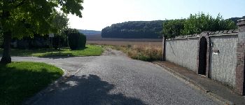
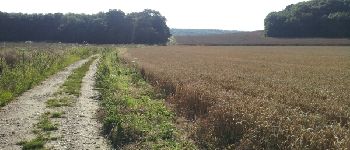
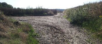
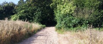
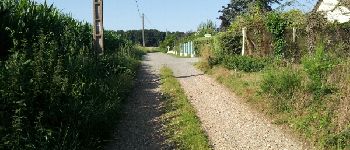
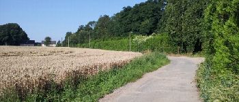
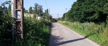
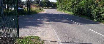
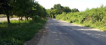
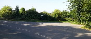
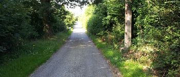
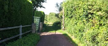
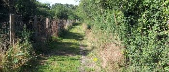
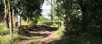
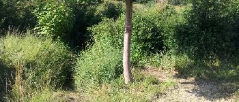
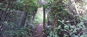
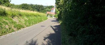
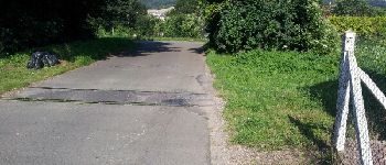
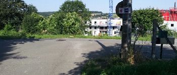
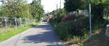
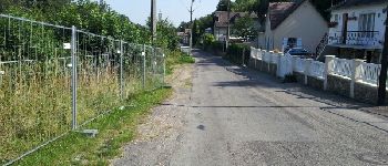
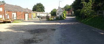
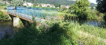
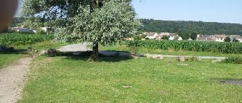
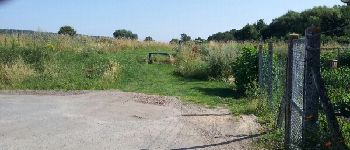
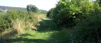
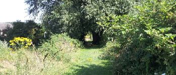
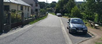
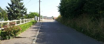
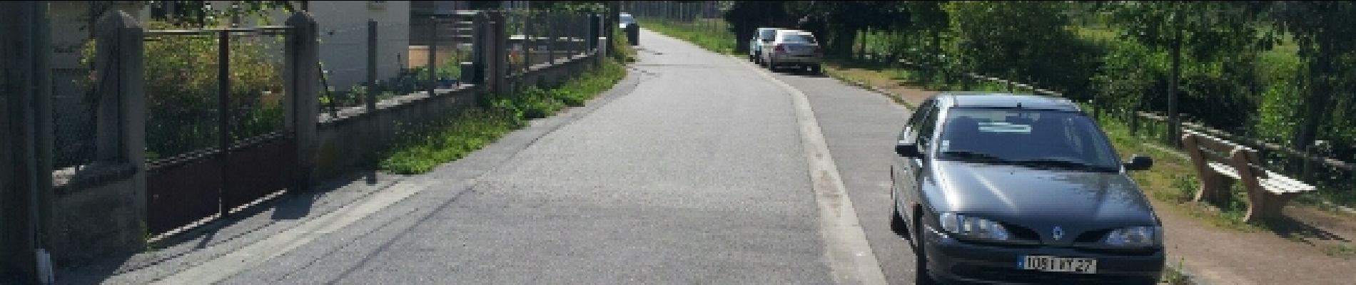
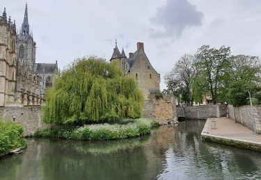
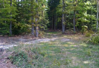
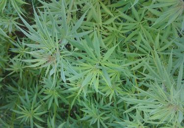
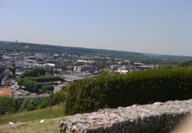
34 photos in total. Please click on a photo to see them all in the gallery.

Points of interest

Point of interest Gravigny - 1 - Photo
douneto
GRAVIGNY 
Point of interest Gravigny - 2 - Photo
douneto
GRAVIGNY 
Point of interest Gravigny - 3 - Photo
douneto
GRAVIGNY 
Point of interest Gravigny - 4 - Photo
douneto
GRAVIGNY 
Point of interest Gravigny - 5 - Photo
douneto
GRAVIGNY 
Point of interest Gravigny - 6 - Photo
douneto
GRAVIGNY 
Point of interest Gravigny - 7 - Photo
douneto
GRAVIGNY 
Point of interest Gravigny - 8 - Photo
douneto
GRAVIGNY 
Point of interest Gravigny - 9 - Photo
douneto
GRAVIGNY 
Point of interest Gravigny - 10 - Photo
douneto
GRAVIGNY 
Point of interest Gravigny - 11 - Photo
douneto
GRAVIGNY 
Point of interest Gravigny - 12 - Photo
douneto
GRAVIGNY 
Point of interest Gravigny - 13 - Photo
douneto
GRAVIGNY 
Point of interest Gravigny - 14 - Photo
douneto
GRAVIGNY 
Point of interest Gravigny - 15 - Photo
douneto
GRAVIGNY 
Point of interest Gravigny - 16 - Photo
douneto
GRAVIGNY 
Point of interest Évreux - 17 - Photo
douneto
ÉVREUX 
Point of interest Évreux - 18 - Photo
douneto
ÉVREUX 
Point of interest Évreux - 19 - Photo
douneto
ÉVREUX 
Point of interest Évreux - 20 - Photo
douneto
ÉVREUX 
Point of interest Évreux - 21 - Photo
douneto
ÉVREUX 
Point of interest Évreux - 22 - Photo
douneto
ÉVREUX 
Point of interest Évreux - 23 - Photo
douneto
ÉVREUX 
Point of interest Évreux - 24 - Photo
douneto
ÉVREUX 
Point of interest Évreux - 25 - Photo
douneto
ÉVREUX 
Point of interest Évreux - 26 - Photo
douneto
ÉVREUX 
Point of interest Évreux - 27 - Photo
douneto
ÉVREUX 
Point of interest Gravigny - 28 - Photo
douneto
GRAVIGNY 
Point of interest Gravigny - 29 - Photo
douneto
GRAVIGNY 
Point of interest Gravigny - 30 - Photo
douneto
GRAVIGNY 
Point of interest Gravigny - 31 - Photo
douneto
GRAVIGNY 
Point of interest Gravigny - 32 - Photo
douneto
GRAVIGNY 
Point of interest Gravigny - 33 - Photo
douneto
GRAVIGNY 
Point of interest Gravigny - 34 - Photo
douneto
GRAVIGNY 

Positioning

Country:
France
Region :
Normandy
Department/Province :
Eure
Municipality :
Gravigny
Location:
Unknown
Start:(UTM)
365942 ; 5434319 (31U) N.

Comments

Please log in to post a review or rate the element


facile à utiliser sur le terrain


Trails nearby

Trail Walking Huest - les trois etangs - Photo
Walking
bernard.bonafous@free.fr

Walking

Very difficult
(1)
Huest, Normandy, Eure, France
25 km | 28 km-effort
6h 25min
Yes
Trail Walking Évreux - Évreux PR1  - Photo
Walking
Marie-Claire-mcp

Walking

Medium
Évreux, Normandy, Eure, France
8.4 km | 9.9 km-effort
2h 53min
Yes
Trail On foot Normanville - normanville - Photo
On foot
bipf

On foot

Very easy
Normanville, Normandy, Eure, France
9.1 km | 10.9 km-effort
Unknown
Yes
Trail Walking Tourneville - autrebocs - Photo
Walking
papytonvelo

Walking

Very easy
(1)
Tourneville, Normandy, Eure, France
11.7 km | 14.7 km-effort
3h 26min
No
Trail Walking Normanville - Circuit de Normanville - Photo
Walking
tiberiu

Walking

Medium
(4)
Normanville, Normandy, Eure, France
13 km | 16.5 km-effort
4h 26min
Yes
Trail Mountain bike Gravigny - Balade dans la vallée d'iton - Photo
Mountain bike
tracegps

Mountain bike

Very difficult
Gravigny, Normandy, Eure, France
63 km | 80 km-effort
3h 15min
Yes
Trail Mountain bike Gravigny - Chemins et collines entre les deux vallées - Gravigny - Photo
Mountain bike
tracegps

Mountain bike

Difficult
Gravigny, Normandy, Eure, France
49 km | 58 km-effort
2h 40min
Yes
Trail Mountain bike Gravigny - Forêts et plaines autour de Gravigny - Photo
Mountain bike
tracegps

Mountain bike

Difficult
Gravigny, Normandy, Eure, France
42 km | 48 km-effort
2h 30min
Yes
Trail Walking Normanville - 20230607-Normanville - Photo
Walking
doudet

Walking

Medium
Normanville, Normandy, Eure, France
19.9 km | 24 km-effort
5h 6min
Yes


Close
My subscriptions