


4.2 km | 5.9 km-effort

User


FREE GPS app for hiking
 SityTrail
IGN / Geographical institutes
SityTrail World
The world is yours!
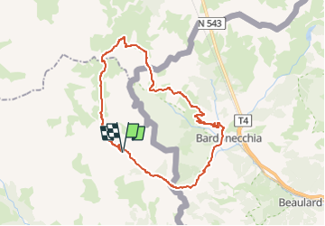
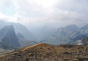
Trail Mountain bike of 35 km to be discovered at Provence-Alpes-Côte d'Azur, Hautes-Alpes, Névache. This trail is proposed by tracegps.
Nous sommes partis des Granges de la Vallée Étroite, territoire italien jusqu'en 1947, où le refuge "i Re Magi" est parfaitement recommandable. Le point le plus bas du circuit se situe dans la petite ville de Bardonecchia. Le parcours est extrêmement beau et varié : ancienne route militaire bien restaurée, sentiers roulants, un minimum de portage.Il y a juste une petite partie très technique (qui passe sur le vélo) dans la descente du col de la Vallée Étroite.


Walking

Walking

Walking
Walking
Walking
Walking
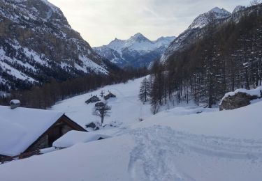
Touring skiing
Walking
Walking
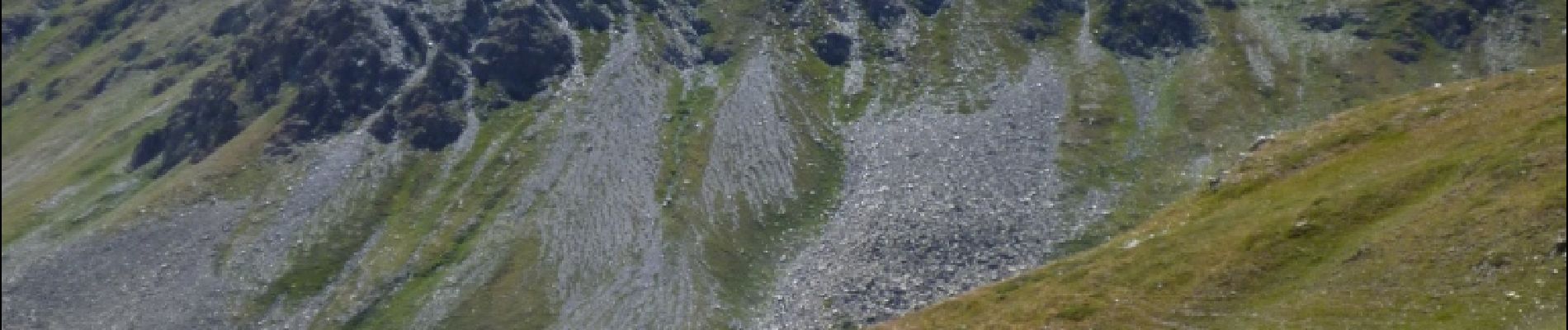
super circuit. à noter, quelques passage en portage (notamment pour passer au cpl de la roue)