Trail Walking Sin-le-Noble - La boucle du Vivier - Sin-Le-Noble - Photo

La boucle du Vivier - Sin-Le-Noble

 tracegps
tracegps

User

© OpenStreetMap contributors
Length
Length
9.3 km
Max alt
Max alt
29 m
Uphill gradient
Uphill gradient
51 m
Km-Effort
Km-Effort  
10 km
Min alt
Min alt
13 m
Downhill gradient
Downhill gradient
53 m
Boucle
Boucle
Yes
Creation date :
2014-12-10 00:00:00.0
Updated on :
2014-12-10 00:00:00.0

(0 Reviews)

Walking
Walking
2h19
Difficulty : Medium

Scan this QR Code to open this trail in the SityTrail application

FREE GPS app for hiking

Logo SityTrail SityTrail

IGN / Geographical institutes

Download SityTrail from the App Store Download SityTrail from Google Play

Logo SityTrail SityTrail World

The world is yours!

Download SityTrail from the App Store Download SityTrail from Google Play Download SityTrail on Huawei AppGallery

About

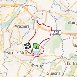
Trail Walking of 9.3 km to be discovered at Hauts-de-France, Nord, Sin-le-Noble. This trail is proposed by tracegps.

Description

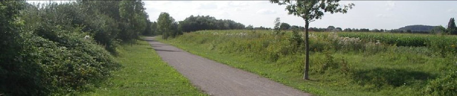
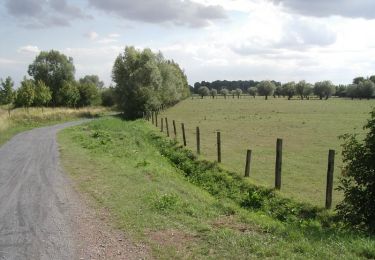
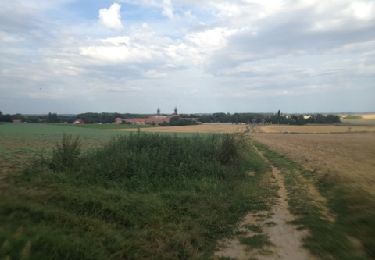
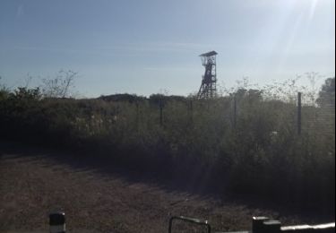
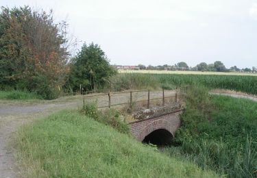
Circuit proposé par la Communauté d’Agglomération du Douaisis . Départ du parking du vivier de Sin-Le-Noble (quai des Liniers). Cette boucle de randonnée emprunte partiellement le chemin des Galibots, et fait partie intégrante de la trame verte du Douaisis. La traversée de plusieurs espaces à fort potentiel écologique en fait un lieu privilégié de découverte de la nature. Retrouvez ce circuit sur le site de la Communauté d’Agglomération du Douaisis. Ce circuit a été numérisé par les randonneurs du CODEPEM.

Elevation profile

Photos

Positioning

Country:
France
Region :
Hauts-de-France
Department/Province :
Nord
Municipality :
Sin-le-Noble
Location:
Unknown
Start:(UTM)
508808 ; 5579149 (31U) N.

Trails nearby

Trail Mountain bike Sin-le-Noble - Le chemin des Galibots - Sin-Le-Noble. - Photo
Mountain bike
tracegps

Mountain bike

Medium
(2)
Sin-le-Noble, Hauts-de-France, Nord, France
35 km | 38 km-effort
3h 0min
Yes
Trail Mountain bike Lallaing - lallaing - la fosse delloye - Photo
Mountain bike
patrick59

Mountain bike

Medium
(1)
Lallaing, Hauts-de-France, Nord, France
26 km | 29 km-effort
1h 41min
No
Trail Mountain bike Lallaing - 2012-08-17 lallaing 3 cavaliers - Photo
Mountain bike
patrick59

Mountain bike

Medium
(1)
Lallaing, Hauts-de-France, Nord, France
44 km | 47 km-effort
2h 50min
No
Trail Mountain bike Lallaing - lallaing - circuit de l'elpret - Photo
Mountain bike
patrick59

Mountain bike

Medium
(1)
Lallaing, Hauts-de-France, Nord, France
40 km | 43 km-effort
2h 56min
Yes
Trail Mountain bike Anhiers - lallaing - Mons en peveles - Photo
Mountain bike
patrick59

Mountain bike

Easy
(1)
Anhiers, Hauts-de-France, Nord, France
27 km | 29 km-effort
1h 32min
No
Trail Mountain bike Anhiers - rando renard - Photo
Mountain bike
patrick59

Mountain bike

Very easy
(1)
Anhiers, Hauts-de-France, Nord, France
20 km | 22 km-effort
1h 17min
No
Trail Walking Lewarde - Circuit de la fosse Delloye - Photo
Walking

Walking

Very easy
Lewarde, Hauts-de-France, Nord, France
9.5 km | 10.6 km-effort
Unknown
Yes
Trail Walking Anhiers - Circuit des 2 ponts - Anhiers - Photo
Walking
tracegps

Walking

Easy
Anhiers, Hauts-de-France, Nord, France
7.1 km | 7.4 km-effort
1h 49min
Yes
Trail Walking Douai - Circuit de la cité de Gayant - Douai - Photo
Walking
tracegps

Walking

Easy
(1)
Douai, Hauts-de-France, Nord, France
6.3 km | 6.7 km-effort
1h 40min
Yes


Close
My subscriptions