


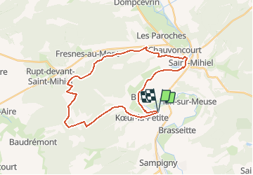

26 km | 32 km-effort

User


FREE GPS app for hiking
 SityTrail
IGN / Geographical institutes
SityTrail World
The world is yours!
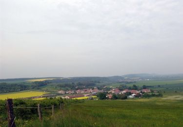
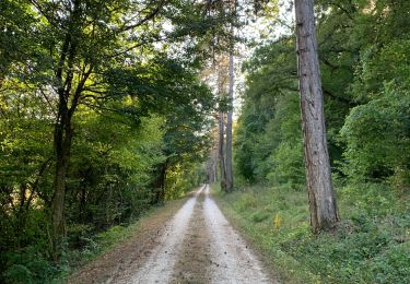
Trail Mountain bike of 30 km to be discovered at Grand Est, Meuse, Kœur-la-Petite. This trail is proposed by tracegps.
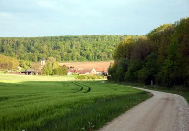
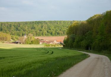
Balade dans la foret sur des routes forestières. Montée un peu difficile au début, grande descente en foret et retour très agréable et reposante le long du canal de l'est. Ce circuit est une autre version plus agréable de Koeur - Lorraine également disponible sur TraceGPS.com.


Walking
Cycle
Mountain bike

Walking

Cycle

Cycle
Cycle
Walking
Walking