


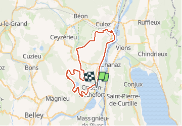

30 km | 36 km-effort


User


FREE GPS app for hiking
 SityTrail
IGN / Geographical institutes
SityTrail World
The world is yours!
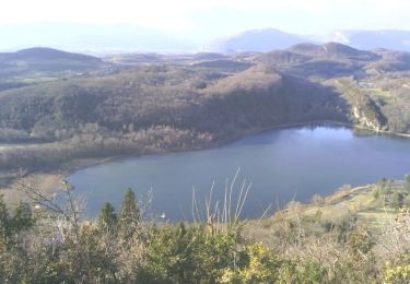
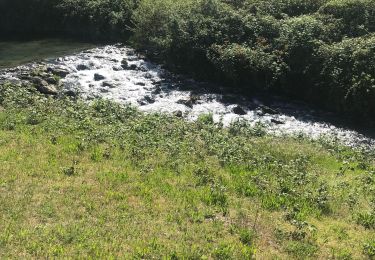
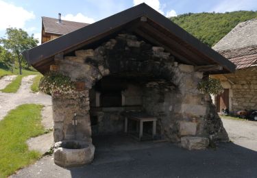
Trail Equestrian of 28 km to be discovered at Auvergne-Rhône-Alpes, Ain, Cressin-Rochefort. This trail is proposed by crumiere.
variante par le lac

Mountain bike
Road bike
Walking
Walking
Walking

Walking
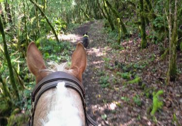
Horseback riding
Walking