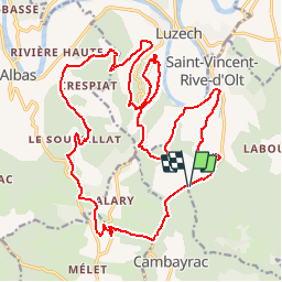

11.6 km | 17.4 km-effort


User


FREE GPS app for hiking
 SityTrail
IGN / Geographical institutes
SityTrail World
The world is yours!
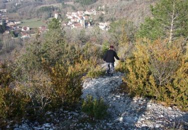
Trail Mountain bike of 27 km to be discovered at Occitania, Lot, Cambayrac. This trail is proposed by tracegps.
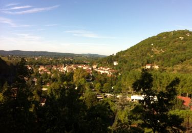
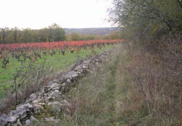
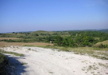
Circuit vtt pour les adeptes de belles descentes, comme souvent il faut se les mériter… Tout passe sur le vélo sauf la 3eme descente, un portage de 50m afin d'éviter les arbres en travers.. Préférez le temps sec à cause des pierres glissantes du Lot. Prendre le temps d'admirer le point de vue sur Luzech et aux alentours ainsi que les gariottes...

Walking

Walking
Walking
Mountain bike

Walking

Mountain bike
Walking
Walking