Trail Mountain bike Itxassou - L'Artzamendi à VTT - Photo
 tracegps
tracegps

User

© OpenStreetMap contributors
Length
Length
30 km
Max alt
Max alt
920 m
Uphill gradient
Uphill gradient
1345 m
Km-Effort
Km-Effort  
48 km
Min alt
Min alt
40 m
Downhill gradient
Downhill gradient
1341 m
Boucle
Boucle
No
Creation date :
2014-12-10 00:00:00.0
Updated on :
2014-12-10 00:00:00.0

(0 Reviews)

Mountain bike
Mountain bike
4h00
Difficulty : Very difficult

Scan this QR Code to open this trail in the SityTrail application

FREE GPS app for hiking

Logo SityTrail SityTrail

IGN / Geographical institutes

Download SityTrail from the App Store Download SityTrail from Google Play

Logo SityTrail SityTrail World

The world is yours!

Download SityTrail from the App Store Download SityTrail from Google Play Download SityTrail on Huawei AppGallery

About

Trail Mountain bike of 30 km to be discovered at New Aquitaine, Pyrénées-Atlantiques, Itxassou. This trail is proposed by tracegps.

Description

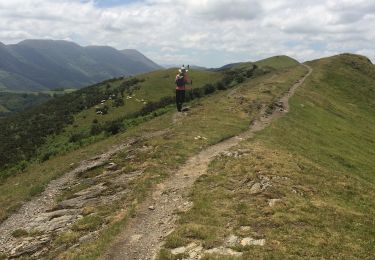
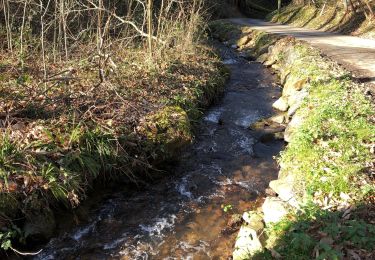
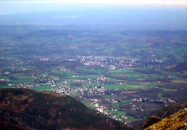
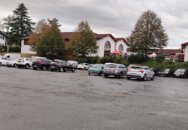
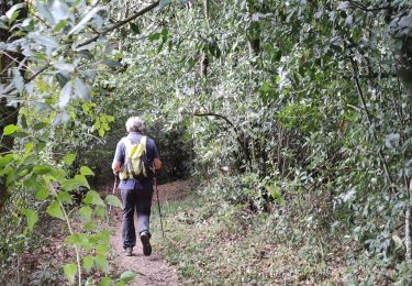
Une randonnée physique et techniquement difficile dans la montagne basque. D'Itsaxou, monter à l'Urzumu ( table d'orientation ). Suivre le GR8 jusqu'au col de Pinodieta en franchissant quelques vallons bien raides ( quelques portages, notamment pour franchir des clôtures, où il vaut mieux être au moins 2 ). Monter au col des Troix Croix (513 m) puis suivre le GR 10 jusqu'au col des Veaux (567 m). Ne pas s'arrêter au gîte d'étape, très mauvais accueil. Les VTTistes moins aguerris pourront alors redescendre sur Itxassou par la petite route. Les VTTistes confirmés continueront le GR10 ( portage sur 200 mètres ) jusqu'à une petite route très raide qui conduit au sommet de l'Artzamendi ( 926 m ). Là, attaquer une descente très technique de 850 m de dénivelé, d'abord à travers les alpages puis sur un chemin parfois pierreux. Cette descente est à éviter par temps humide car quelques dalles rocheuses sont très glissantes. Au bas de la descente rejoindre Itxassou par une petite route à travers le Pas de Rolland. Cette balade offre des vues magnifiques sur le Pays Basque, côté français comme espagnol. Véritable randonnée en montagne, elle s'adresse aux adeptes du genre.

Elevation profile

Positioning

Country:
France
Region :
New Aquitaine
Department/Province :
Pyrénées-Atlantiques
Municipality :
Itxassou
Location:
Unknown
Start:(UTM)
629093 ; 4798706 (30T) N.

Trails nearby

Trail Walking Espelette - Erreka mondarain col des veaux - Photo
Walking
GUIDE
antignacs

Walking

Difficult
(1)
Espelette, New Aquitaine, Pyrénées-Atlantiques, France
18.3 km | 29 km-effort
6h 34min
Yes
Trail Walking Hasparren - Ursuya  - Photo
Walking
jaja64

Walking

Medium
(1)
Hasparren, New Aquitaine, Pyrénées-Atlantiques, France
10.8 km | 18.5 km-effort
3h 40min
Yes
Trail Walking Cambo-les-Bains - Ursuya - Cambo les Bains - Photo
Walking
tracegps

Walking

Medium
(2)
Cambo-les-Bains, New Aquitaine, Pyrénées-Atlantiques, France
9.7 km | 17.8 km-effort
2h 45min
No
Trail Walking Espelette - De la Nive à la Nivelle - Circuit des familles - Espelette - Photo
Walking
tracegps

Walking

Easy
(1)
Espelette, New Aquitaine, Pyrénées-Atlantiques, France
7.1 km | 9.2 km-effort
1h 30min
Yes
Trail Walking Espelette - ESPELETTE Le circuit des familles
Walking
GUIDE
marmotte65

Walking

Medium
Espelette, New Aquitaine, Pyrénées-Atlantiques, France
7.5 km | 9.6 km-effort
1h 55min
Yes
Trail Walking Cambo-les-Bains - CAMBO la grande boucle des thermes Appart Cambo bas-Cambo Thermes appart - Photo
Walking
GUIDE
marmotte65

Walking

Medium
Cambo-les-Bains, New Aquitaine, Pyrénées-Atlantiques, France
6 km | 7.9 km-effort
1h 23min
Yes
Trail Walking Halsou - HALSOU fontaine d'arraia Bizkar Handi
Walking
GUIDE
marmotte65

Walking

Difficult
Halsou, New Aquitaine, Pyrénées-Atlantiques, France
9.6 km | 13.2 km-effort
2h 31min
Yes
Trail Walking Halsou - HALSOU Arraia
Walking
GUIDE
marmotte65

Walking

Easy
Halsou, New Aquitaine, Pyrénées-Atlantiques, France
3.4 km | 4.6 km-effort
1h 3min
Yes
Trail Walking Hasparren - ursuya - Photo
Walking
jcaudron

Walking

Very easy
(2)
Hasparren, New Aquitaine, Pyrénées-Atlantiques, France
13.6 km | 22 km-effort
3h 8min
Yes


Close
My subscriptions