


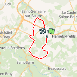

10.7 km | 12.9 km-effort


User


FREE GPS app for hiking
 SityTrail
IGN / Geographical institutes
SityTrail World
The world is yours!
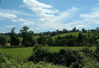
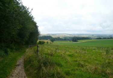
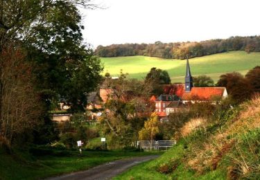
Trail Walking of 19 km to be discovered at Normandy, Seine-Maritime, Graval. This trail is proposed by tracegps.
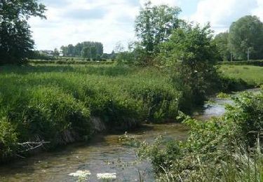
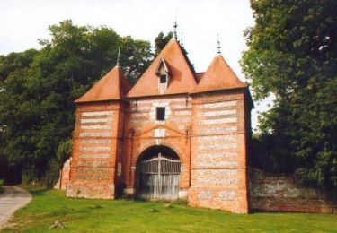
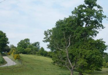
Sympathique promenade sans difficulté en pays de Bray, à proximité de Neufchâtel. En Pays de Bray, le fromage que l’on connaît le mieux, c’est le Neufchâtel, mais le Graval mérite aussi une dégustation. Toutes les photos sur balades en Normandie.


Walking

Walking
Cycle
Cycle
Cycle
Cycle

Cycle
Mountain bike
Mountain bike