


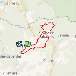

16.1 km | 25 km-effort


User


FREE GPS app for hiking
 SityTrail
IGN / Geographical institutes
SityTrail World
The world is yours!
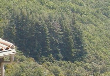
Trail Mountain bike of 24 km to be discovered at Occitania, Aude, Roquefère. This trail is proposed by tracegps.
Ceci est une variante du circuit 10104; le circuit dont le départ s'effectue de La Bastide Esparbairenque peut être réalisé en VTT. Passage par le pic de Nouret, le Pic de Nore, les glacières de Pradelle, les éoliennes, retour à Esparbairenque. Les VTTistes éviteront les raccourcis pour atteindre le village et continueront plus sagement par la piste qui rejoint la route.
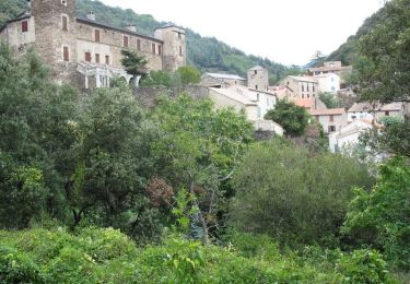
Walking
Walking

Walking
On foot
On foot
On foot

On foot
On foot