


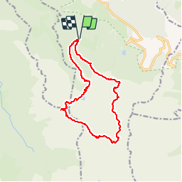

15 km | 26 km-effort

User


FREE GPS app for hiking
 SityTrail
IGN / Geographical institutes
SityTrail World
The world is yours!
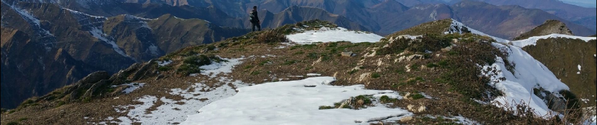
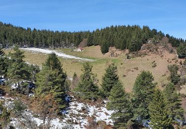
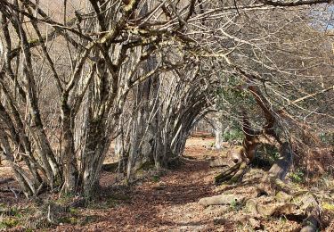
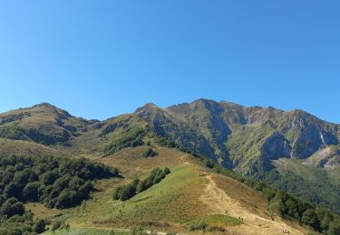
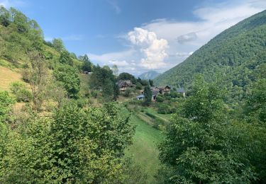
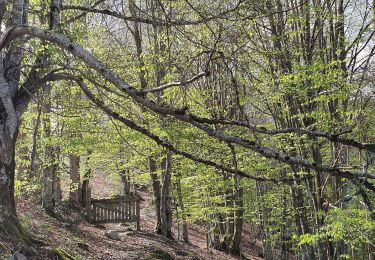
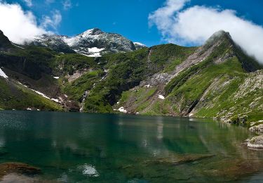
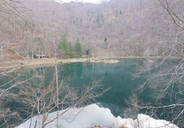
Trail Walking of 15 km to be discovered at Occitania, Ariège, Bethmale. This trail is proposed by chrisgps.
Via étangs d'Eychelle & d'Ayes.
(rester près du Pic de Crabère à franchir avant de revenir sir le GR 10)


Walking


Walking
Walking
Walking
Walking
Walking
On foot
Walking