


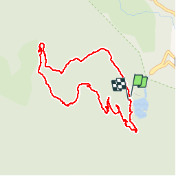

15 km | 26 km-effort


User


FREE GPS app for hiking
 SityTrail
IGN / Geographical institutes
SityTrail World
The world is yours!
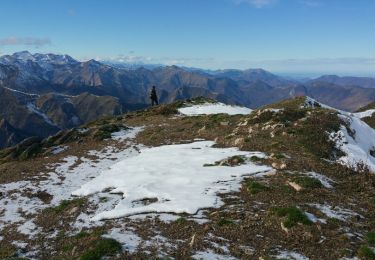
Trail Walking of 5.4 km to be discovered at Occitania, Ariège, Bethmale. This trail is proposed by Gepeto_22.


Walking

Walking
Walking
Walking
Walking
On foot
Walking
Walking
Walking
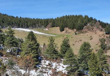
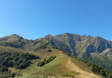
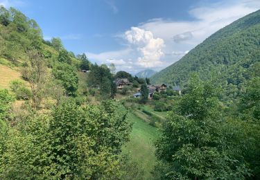
Très bien en famille, attention terrain glissant sur le dévers du retour.