


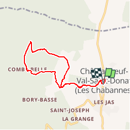


14.5 km | 21 km-effort


User


FREE GPS app for hiking
 SityTrail
IGN / Geographical institutes
SityTrail World
The world is yours!
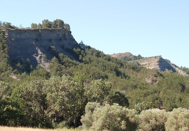
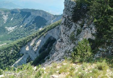
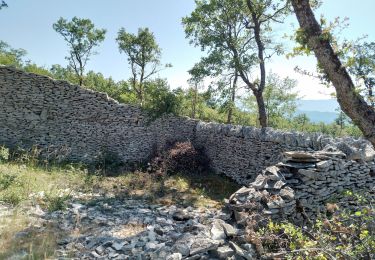
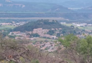
Trail Walking of 7.6 km to be discovered at Provence-Alpes-Côte d'Azur, Alpes-de-Haute-Provence, Châteauneuf-Val-Saint-Donat. This trail is proposed by tracegps.
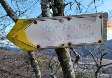
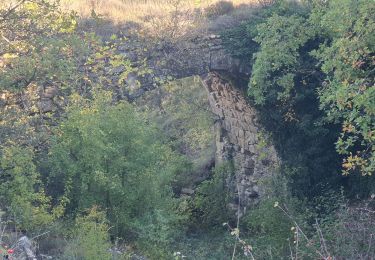
Une promenade facile au départ de Châteauneuf Val Saint Donat pour voir quelques bergeries en pierres sèches.


Walking

Running
Walking
Walking
Walking

Walking
Walking
Walking
Walking
Super
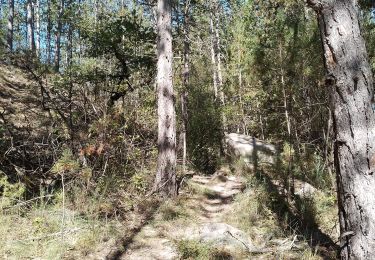
Petit parcours facile et agréable, à faire de préférence quand le thym ou la lavande sont en fleurs !