


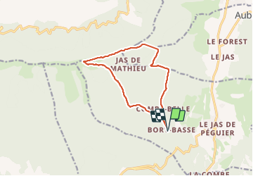

7.6 km | 11.2 km-effort


User


FREE GPS app for hiking
 SityTrail
IGN / Geographical institutes
SityTrail World
The world is yours!
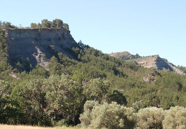
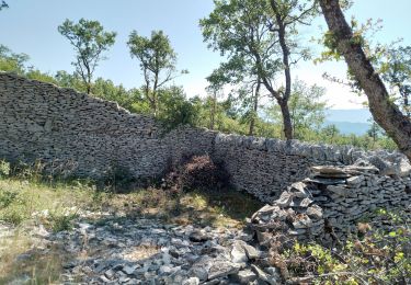
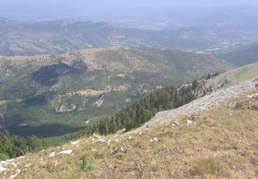
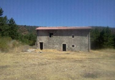
Trail Walking of 12.2 km to be discovered at Provence-Alpes-Côte d'Azur, Alpes-de-Haute-Provence, Châteauneuf-Val-Saint-Donat. This trail is proposed by Roger .
la fin de la montée n est pas évidente. chercher la piste sur la droite. petite erreur au début dr la descente, après les crêtes. mise en pause non enlevée. très belle randonnée


Walking
Walking
Walking
Walking
Walking
On foot

Walking

Walking
Trail