


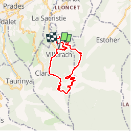

13.5 km | 17.2 km-effort

User


FREE GPS app for hiking
 SityTrail
IGN / Geographical institutes
SityTrail World
The world is yours!
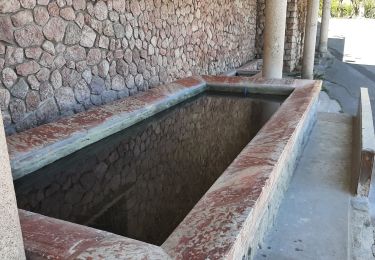
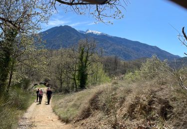
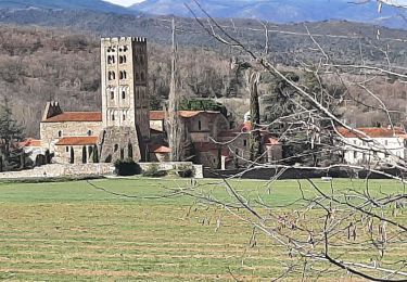
Trail Walking of 14 km to be discovered at Occitania, Pyrénées-Orientales, Clara-Villerach. This trail is proposed by ThonyM.
Parcours sans difficulté, très agréable, particulièrement aux couleurs de l'automne. Vue sur La Chapelle saint Esteve


Walking

Motor

Mountain bike

Walking
Walking
Walking
Walking
Walking
Walking