


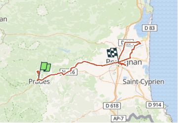

13.5 km | 17.2 km-effort


User


FREE GPS app for hiking
 SityTrail
IGN / Geographical institutes
SityTrail World
The world is yours!
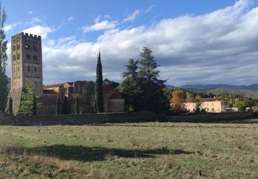
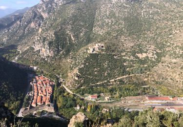
Trail Walking of 111 km to be discovered at Occitania, Pyrénées-Orientales, Catllar. This trail is proposed by 66Gribouille83.
de belles montees


Walking

Motor

Mountain bike
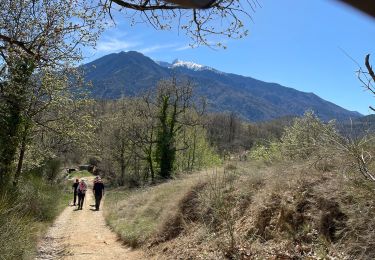
Walking
Walking

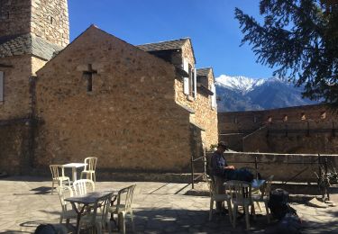
Walking
Walking
Walking
Walking