


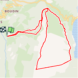


8.2 km | 17.9 km-effort


User


FREE GPS app for hiking
 SityTrail
IGN / Geographical institutes
SityTrail World
The world is yours!
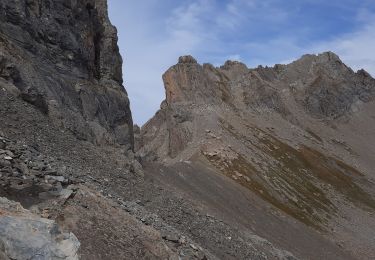
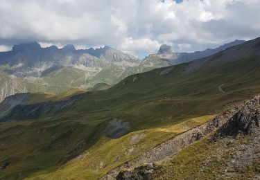
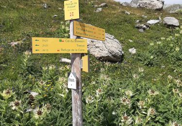
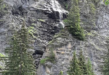
Trail Snowshoes of 12.6 km to be discovered at Auvergne-Rhône-Alpes, Savoy, Beaufort. This trail is proposed by lolo04.
1282 à 2108 -zone areches

Walking
Walking
Touring skiing
Walking
Walking
Walking
Walking
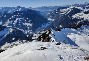
Touring skiing
Walking