


15 km | 19.2 km-effort


User


FREE GPS app for hiking
 SityTrail
IGN / Geographical institutes
SityTrail World
The world is yours!
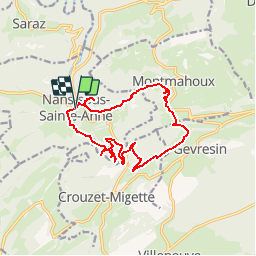
Trail Walking of 14.1 km to be discovered at Bourgogne-Franche-Comté, Doubs, Nans-sous-Sainte-Anne. This trail is proposed by tracegps.
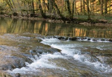
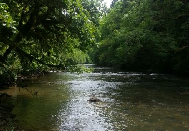
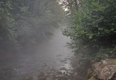
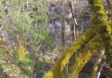
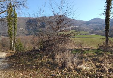
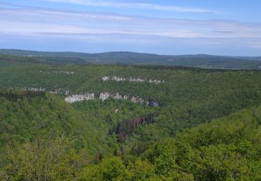
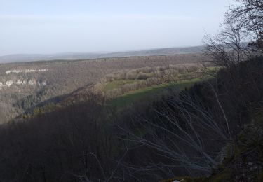
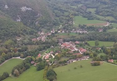
Cette très belle randonnée réunit le charme d'un lieu incontournable de Franche-Comté, le site de la source du Lison, avec l'ascension du Mont Mahoux et sa vue panoramique. Elle permet de découvrir les différents aspects du site, à la fois géologique (sources et résurgences, cascades, falaises et grottes), botanique (zones humides au bord du Lison, pelouses sèches au Mont Mahoux), faunistique (zone de nidification du faucon pèlerin, faune aquatique, ...) et socio-économique (exploitation des richesses naturelles du site par l'homme). La suite avec d’autres informations et photos est ICI
 et source du Lison - Photo 1")
 et source du Lison - Photo 2")
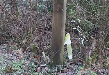
Walking
Walking
Walking
Walking
Walking
Walking
Walking
Walking
Walking
Super ' très bien élaboré Merci SityTrail
excellent