


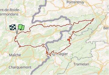

14.5 km | 22 km-effort

User


FREE GPS app for hiking
 SityTrail
IGN / Geographical institutes
SityTrail World
The world is yours!
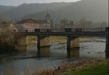
Trail Cycle of 91 km to be discovered at Bourgogne-Franche-Comté, Doubs, Saint-Hippolyte. This trail is proposed by tracegps.
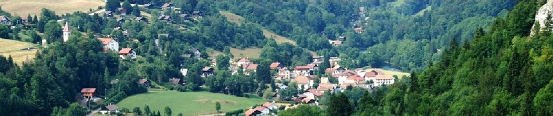
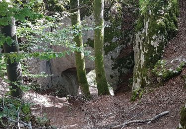
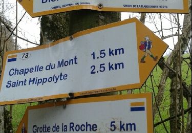
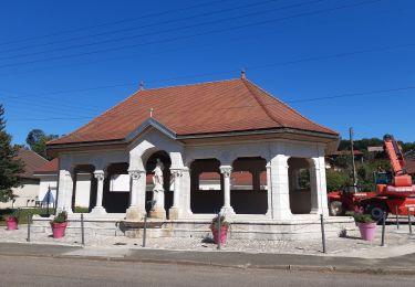
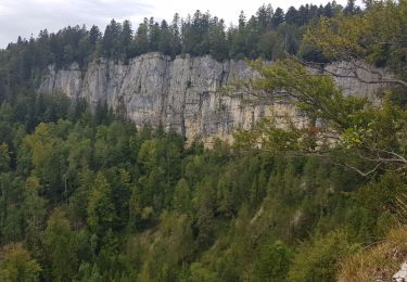
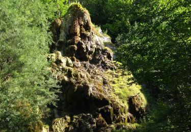
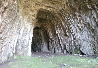
Le Doubs, réserve naturelle d’idées neuves ! Le Franco-Suisse Syndicat d’initiative à Saint-Hippolyte, Petite cité comtoise de caractère, collégiale du XIVe et ancien couvent des Ursulines A proximité : - Musée de la pince à Montécheroux (03 81 92 50 00 ou 03 81 92 56 77) - Eglise des Terres de Chaux, belvédère de Montaigu - Vallée du Dessoubre Le « Clos du Doubs », vallée du Doubs en direction de la Suisse (lacs de retenue, patrimoine rural…) Ruines du château (XIIIe) à Montjoie-le-château Entrée en Suisse Saint-Ursanne, petite cité médiévale, collégiale et cloître (XIIe siècle), ruines du château… Etang et tourbières de la Gruère Musée de l’automobile à Muriaux Retour en France Point infos à Goumois, village franco-suisse haut lieu de la pêche à la mouche et du canoë Vallon et corniche de Goumois, A proximité : OT à Maîche (03 81 64 11 88), berceau du cheval comtois Eglise des Bréseux, vitraux de Manessier Belvédère du Bourbet aux Bréseux

Walking
Walking

Walking
Walking
Mountain bike
Walking

Walking
Running
Walking