


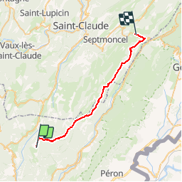

10.9 km | 14.5 km-effort

User


FREE GPS app for hiking
 SityTrail
IGN / Geographical institutes
SityTrail World
The world is yours!
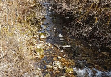
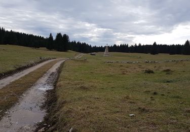
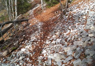
Trail Walking of 30 km to be discovered at Auvergne-Rhône-Alpes, Ain, Giron. This trail is proposed by tracegps.
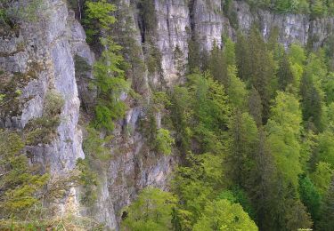
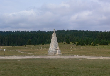
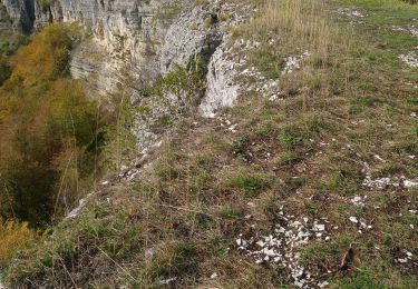
Haut Jura - Giron à Lajoux. L’association du Jura du Grand Huit est née en 1987, elle est spécialisée alors dans la rando à cheval. Elle regroupe des hébergements de randonnée, des professionnels équestres proposant des séjours cheval (rando accompagnées, stages, roulottes…) et des bénévoles baliseurs. Elle entretient, balise et aménage les itinéraires équestres sur le département du Jura. Ses itinéraires sont accessibles aux cavaliers et aux marcheurs, ils permettent de parcourir l’ensemble du département, de la Bresse Jurassienne aux Hautes Combes en passant par le vignoble, les lacs et les plateaux. Le Grand Huit vous propose des idées de séjours en boucle de 2 à plusieurs jours. De multiples possibilités vous sont offertes, vous trouverez sur le site quelques propositions non exhaustives. Attention, les itinéraires peuvent changer d’une année à l’autre et subir des modifications.

Walking
Walking
Walking
Walking
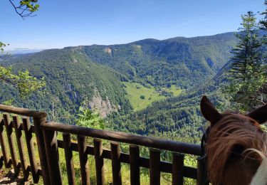
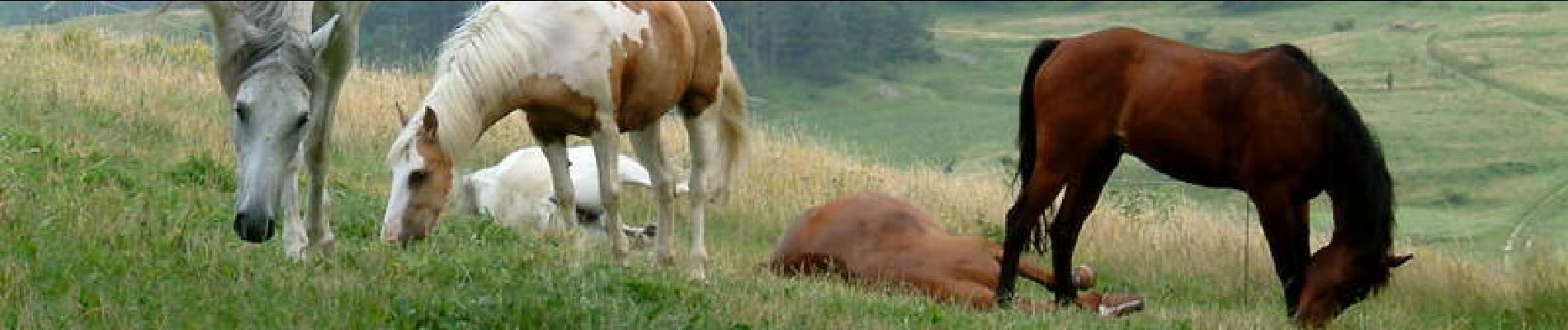
Horseback riding
Walking
Walking