


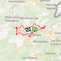

14.5 km | 22 km-effort


User


FREE GPS app for hiking
 SityTrail
IGN / Geographical institutes
SityTrail World
The world is yours!
Trail Walking of 21 km to be discovered at Bourgogne-Franche-Comté, Doubs, Saint-Hippolyte. This trail is proposed by tracegps.
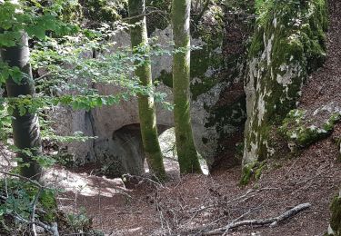
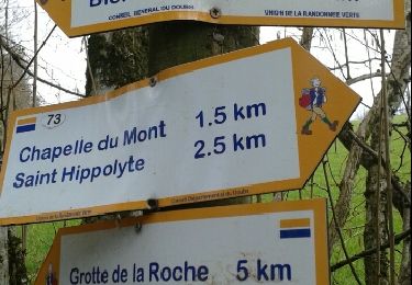
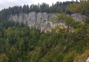
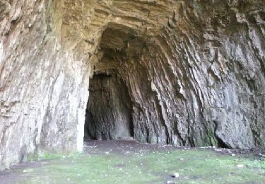
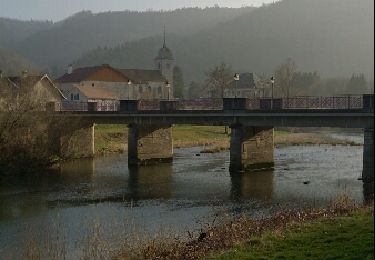
Autour de Saint Hippolyte. Randonnée en boucle au départ du village de St-Hippolyte. Celle-ci permet de découvrir les petits villages environnants, les grottes du Bisontin et du château de la Roche, et offre des points de vue magnifiques sur la vallée. Découvrez la suite sur le site de la Communauté des Crapahuteurs.

Walking
Walking

Walking
Walking
Mountain bike

Walking

Walking
Running
Walking