


10.5 km | 11.6 km-effort


User


FREE GPS app for hiking
 SityTrail
IGN / Geographical institutes
SityTrail World
The world is yours!
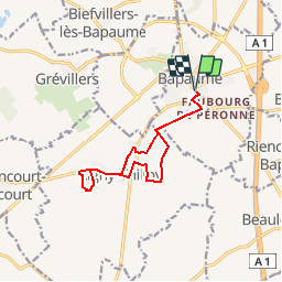
Trail Walking of 10.7 km to be discovered at Hauts-de-France, Pas-de-Calais, Bapaume. This trail is proposed by tracegps.
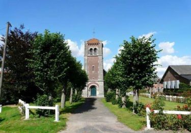
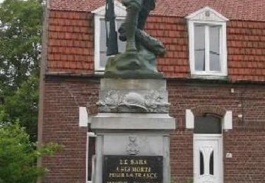
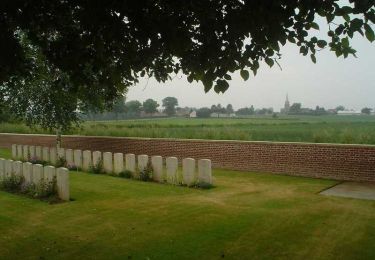
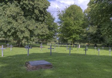
Circuit proposé par l’Office de Tourisme du Seuil de l’Artois Bapaume – Bertincourt . Départ de la rue de Péronne à Bapaume, prés de l’église. Ce circuit vous emmène à la découverte de Bapaume et du village de Ligny-Thilloy au gré de la Ronde des Tilleuls. Cette promenade mêle la découverte d’espace naturel, de terres cultivées, du patrimoine et de la Reconstruction, urbain et rural... et des personnages légendaires ou réels qui ont marqué ce territoire. Retrouvez le plan et son descriptif ICI. Ce circuit a été numérisé par les randonneurs du CODEPEM. Merci à Jean-Marie.
 - Photo 1")
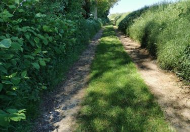
Walking
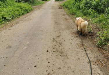
Walking
Walking
Walking

Walking
Walking
Walking

Mountain bike

Walking