


12.4 km | 14.4 km-effort


User


FREE GPS app for hiking
 SityTrail
IGN / Geographical institutes
SityTrail World
The world is yours!
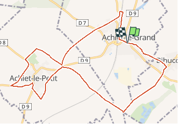
Trail Walking of 11.8 km to be discovered at Hauts-de-France, Pas-de-Calais, Achiet-le-Grand. This trail is proposed by tracegps.
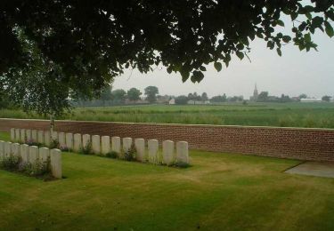
Circuit proposé par l’Office de Tourisme du Seuil de l’Artois Bapaume – Bertincourt . Départ de la place d’Achiet-le-Grand Achiet-le-Grand, Achiet-le-Petit et Bihucourt...vous allez vous promener à l'orée de ces villages en empruntant quelques tronçons de leur pourchain. Un pourchain est le chemin qu'empruntaient jadis les vaches pour aller de la pâture à l'étable. Généralement, ces petits sentiers enherbés, ombragés, faisaient le tour du village afin d'en éviter le centre, aujourd'hui ils font le bonheur des promeneurs en quête de quiétude. Retrouvez le plan et son descriptif ICI. Ce circuit a été numérisé par les randonneurs du CODEPEM. Merci à Jean-Marie.
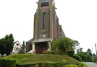
 - Photo 1")
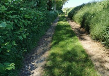
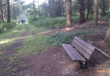
 - Photo 2")
Walking
Walking
Walking

Walking

Walking
Walking

Walking
Walking

Mountain bike