


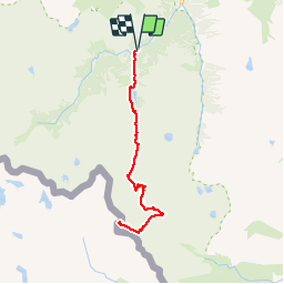

11.4 km | 17.5 km-effort

User


FREE GPS app for hiking
 SityTrail
IGN / Geographical institutes
SityTrail World
The world is yours!
Trail Walking of 32 km to be discovered at Occitania, Hautespyrenees, Cauterets. This trail is proposed by tracegps.
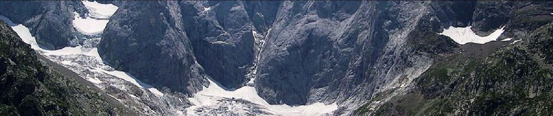
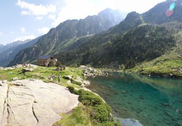
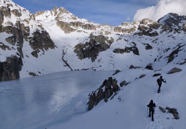
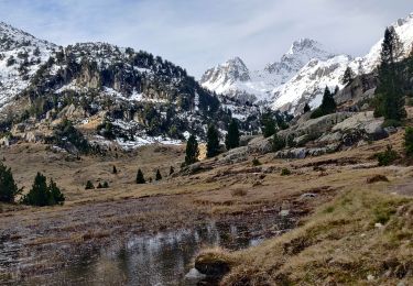
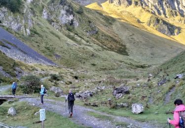
Le Vignemale 3298m par le refuge de Bayssellance Plus haut sommet (frontière) des Pyrénées françaises, pourvu à l'Est du seul glacier complet de toute la chaîne, dressant au Nord un fantastique éventail de murailles, le Vignemale est l'une des plus belles montagnes des Pyrénées ! Sa voie normale, facile quand les conditions sont favorables, consiste à remonter le grand glacier que domine, très faiblement, la Pique-Longue (3298m). Course de haute montagne, sur glacier, demandant un équipement sérieux (corde, piolet, crampons) et la présence d'un montagnard pour conduire le groupe dans de bonnes conditions de sécurité (promeneur au lac, randonneur jusqu'à Baysselance) Difficultés: Pas de difficulté sérieuse quand les conditions sont favorables, en particulier quand le glacier est bien enneigé donc non crevassé. D’autres indications, photos et panoramiques sur le site « Les Pyrénées vues par Mariano ».

Walking

Walking

Walking
Walking
Walking
Walking

Walking
Walking
Walking