


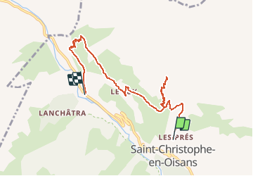

13.8 km | 24 km-effort


User


FREE GPS app for hiking
 SityTrail
IGN / Geographical institutes
SityTrail World
The world is yours!
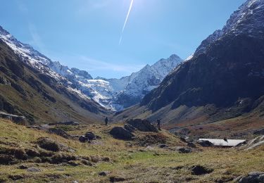
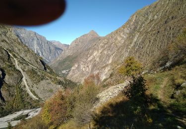
Trail Walking of 8 km to be discovered at Auvergne-Rhône-Alpes, Isère, Saint-Christophe-en-Oisans. This trail is proposed by tracegps.
Tour gourmand de Saint Christophe en Oisans – Jour 5 Départ de Saint Christophe pour le Miroir des Fétoules et la Table d'orientation de Peyssa : 5h de marche / 677 m. Redesente sur Plan du Lac.

Walking

Walking
Walking
Walking

Walking
Walking
Walking

Walking

Walking