Trail Walking Ferrière-la-Petite - Circuit des 4 églises - Ferrière la Petite - Photo

Circuit des 4 églises - Ferrière la Petite

 tracegps
tracegps

User

© OpenStreetMap contributors
Length
Length
19 km
Max alt
Max alt
227 m
Uphill gradient
Uphill gradient
226 m
Km-Effort
Km-Effort  
22 km
Min alt
Min alt
137 m
Downhill gradient
Downhill gradient
226 m
Boucle
Boucle
Yes
Creation date :
2014-12-10 00:00:00.0
Updated on :
2014-12-10 00:00:00.0

(0 Reviews)

Walking
Walking
4h45
Difficulty : Very difficult

Scan this QR Code to open this trail in the SityTrail application

FREE GPS app for hiking

Logo SityTrail SityTrail

IGN / Geographical institutes

Download SityTrail from the App Store Download SityTrail from Google Play

Logo SityTrail SityTrail World

The world is yours!

Download SityTrail from the App Store Download SityTrail from Google Play Download SityTrail on Huawei AppGallery

About

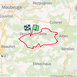
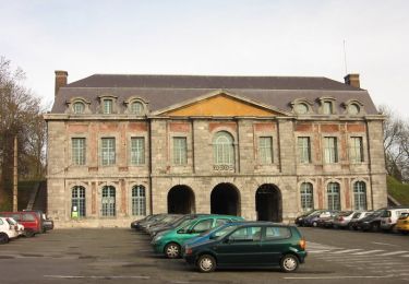
Trail Walking of 19 km to be discovered at Hauts-de-France, Nord, Ferrière-la-Petite. This trail is proposed by tracegps.

Description

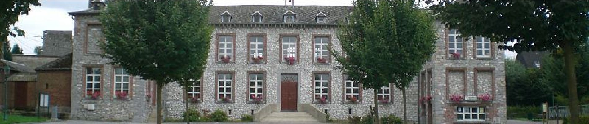
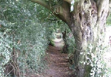
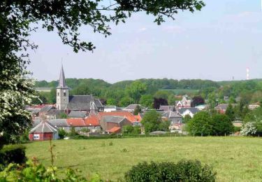
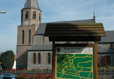
Circuit proposé par le Comité Départemental du Tourisme du Nord. Départ du parking de la mairie. Ce circuit, au cœur de la Fagne de Solre, s’adresse aux randonneurs avertis. La distance à parcourir, le vallonnement, et certaines portions de chemins humides, nécessitent une certaine habitude de la marche. Les villages traversés, les paysages et les panoramas feront cependant oublier la peine. Retrouvez cette randonnée sur le site du Comité Départemental du Tourisme du Nord.

Elevation profile

Photos

Positioning

Country:
France
Region :
Hauts-de-France
Department/Province :
Nord
Municipality :
Ferrière-la-Petite
Location:
Unknown
Start:(UTM)
572765 ; 5565654 (31U) N.

Comments

Please log in to post a review or rate the element


ce circuit a été modifié il y a déjà quelques années notamment au niveau d'Obrechies. Cette trace n'est plus bonne


Trails nearby

Trail Walking Obrechies - Circuit des écoliers d'Obrechies - Photo
Walking
tracegps

Walking

Easy
(2)
Obrechies, Hauts-de-France, Nord, France
6.5 km | 7.9 km-effort
1h 45min
Yes
Trail Walking Ferrière-la-Grande - Circuit des censes de Raidmont - Ferriére la Grande - Photo
Walking
tracegps

Walking

Medium
(1)
Ferrière-la-Grande, Hauts-de-France, Nord, France
9.9 km | 11.2 km-effort
2h 30min
Yes
Trail Walking Colleret - Circuit de l'Escriére  (Colleret) - Photo
Walking
tracegps

Walking

Medium
(1)
Colleret, Hauts-de-France, Nord, France
9 km | 10.3 km-effort
2h 15min
Yes
Trail Walking Quiévelon - balisage 2 PR Avesnois octobre 2023 - Photo
Walking
jeanluc59

Walking

Difficult
Quiévelon, Hauts-de-France, Nord, France
16 km | 18.2 km-effort
4h 8min
Yes
Trail Cycle Rousies - Maubeuge  Hirson  - Photo
Cycle
svp59

Cycle

Medium
Rousies, Hauts-de-France, Nord, France
56 km | 65 km-effort
5h 14min
No
Trail Walking Ferrière-la-Petite - Circuit du grès salé - Photo
Walking

Walking

Very easy
Ferrière-la-Petite, Hauts-de-France, Nord, France
5.6 km | 6.5 km-effort
Unknown
Yes
Trail Mountain bike Maubeuge - Circuit du Clair de Lune - Maubeuge - Photo
Mountain bike
tracegps

Mountain bike

Easy
Maubeuge, Hauts-de-France, Nord, France
10 km | 11.2 km-effort
1h 15min
Yes
Trail Mountain bike Maubeuge - Circuit du patrimoine de Maubeuge - Photo
Mountain bike
tracegps

Mountain bike

Easy
Maubeuge, Hauts-de-France, Nord, France
5 km | 5.6 km-effort
30min
Yes
Trail Mountain bike Maubeuge - Les défenseurs de Maubeuge - Photo
Mountain bike
tracegps

Mountain bike

Easy
Maubeuge, Hauts-de-France, Nord, France
10.4 km | 11.5 km-effort
1h 0min
Yes


Close
My subscriptions