


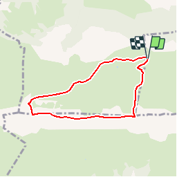

6.7 km | 12.3 km-effort

User


FREE GPS app for hiking
 SityTrail
IGN / Geographical institutes
SityTrail World
The world is yours!
Trail Walking of 6.5 km to be discovered at New Aquitaine, Pyrénées-Atlantiques, Louvie-Juzon. This trail is proposed by tracegps.
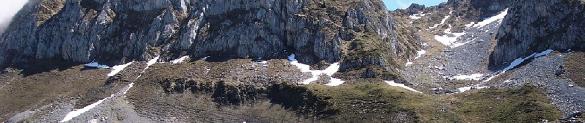
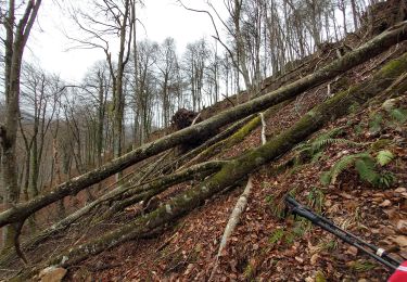
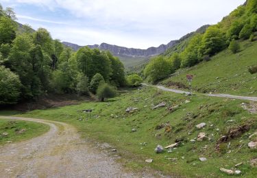
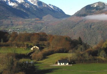
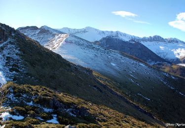
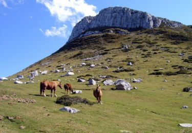
Le Moulle de Jaüt 2050m depuis le Col de Jaüt (1506m) Point culminant du massif calcaire au Nord de l'Aubisque, entre le gave d'Ossau et l'Ouzoum, le Moulle de Jaüt offre un immense panorama tant sur la plaine (de la côte landaise aux coteaux du Gers) que sur la haute montagne (massif de l'Anie à celui du Néouvielle). On le gravit rapidement depuis le col de Jaüt, accessible par une piste pastorale. Difficulté: Aucune par temps clair et sol sec, mais les pentes herbeuses finales, très raides, sont dangereuses; elles demandent un peu d'attention. Pour la boucle, laisser la voiture au virage à 1440m, monter au col de Jaüt puis au sommet et revenir par les crêtes et le col de Lallène, compter environ 3h30. D’autres indications, photos et panoramiques sur le site « Les Pyrénées vues par Mariano ».


On foot
Walking
Walking
Running

Walking
Walking
Walking

Walking
Walking