


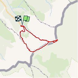

5.4 km | 8.6 km-effort


User


FREE GPS app for hiking
 SityTrail
IGN / Geographical institutes
SityTrail World
The world is yours!
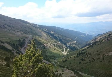
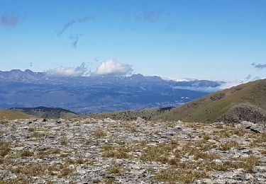
Trail Walking of 11.3 km to be discovered at Occitania, Pyrénées-Orientales, Err. This trail is proposed by tracegps.
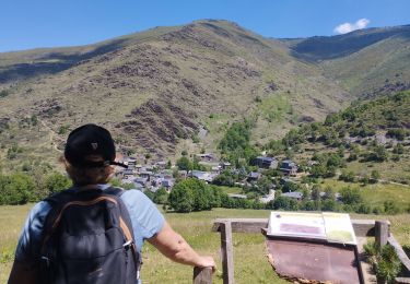
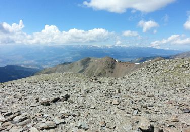
Une randonnée en boucle depuis Les Planes pour aller au Puigmal d'Err en montant par le Pic de Duraneu et la Tossa del pas dels Lladres et en desendant par le vallon de la Ribera d'Err.


Walking

Walking
Walking
Walking

Snowshoes
Walking
Walking

Walking

Snowshoes